What is recorded here
Grillagh held a forty-metre earthen ring on a low ridge, marked as a fort on the 1837 map and still traceable in 1986 before pasture and time erased it entirely. The loss is not emptiness; it is a shape remembered through absence, a circular border the land once kept and no longer shows. What vanished is not nothing. It is a human-made mark that stopped being visible, not a place that never existed.
On the NW slope of a low ridge in pasture. Depicted as a circular enclosure with the designation 'Fort' on the 1837 ed. of the OS 6-inch map. A report in 1986 (SMR file) recorded that, although largely levelled, the outline of a bank with an external fosse could still be traced, enclosing a roughly circular area (diam. c. 40m). Further levelling has occurred and the monument is no longer visible at ground level.
Compiled by: Patrick F. O'Donovan
Date of upload: 26 August 2011
The monument record does not grant public access. Check the route and ask the landowner before entering private land.
- What survives
- Recorded monument
Places near here
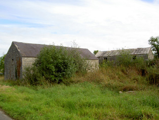 mill (water)mill (water) · 142 yd
 IndicatedChurch · 1144 yd
 Man-made underground passage in RappareehillMan-made underground passage · 1362 yd
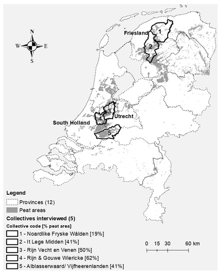 StructureStructure, peatland · 1597 yd
 CastleCastle, tower house · 1.7 mi
 Graveyard in Curry (ardagh By., Coolamber Ed)Graveyard · 3.1 mi
 Commons North WalkVisitor information · 3.9 mi
 Wild birdsVisitor information · 4.0 mi
 White Sand WoodWood · 4.1 mi
 Ballyclare IslandIslet · 4.5 mi
 Rathcline CastleBawn · 4.5 mi
 First World War MemorialMemorial · 5.3 mi