What is recorded here
Situated on ESE-facing slope, near the top of a prominent hill, in pasture, with extensive views to NNW, N, E, S and SW. Depicted on the 1837 OS Fair Plan map and on the revised 1913 ed. OS 25-inch map as a C-shaped earthwork which is open to E, probably due to old quarrying. Monument described in 1971 as a large roughly oval-shaped area (dims. 46m N-S; 30m E-W) enclosed by a bank which is very high on the exterior and is almost reduced to a scarp. The perimeter and a large portion of the E sector has been defaced by quarrying from NE-E-SE and in several other places by livestock. There is no visible trace of an external fosse and the original entrance is not recognisable. The interior has a general ESE-facing slope. Monument is visible as a C-shaped earthwork on oblique aerial photography (CUCAP AOY055) taken 12/07/1966. Monument is visible today as a roughly oval-shaped tree-lined earthwork, disturbed across the E sector, on Digital Globe aerial photography.
See attached profile of monument surveyed and drawn by the ASI.
Compiled by Alison McQueen, Vera Rahilly and Caimin O’Brien.
Date of upload: 06 November 2019
This remains an important historical record, but the official description says the monument is no longer visible or has been destroyed. The monument record does not grant public access. Check the route and ask the landowner before entering private land.
- What survives
- No visible remains or recorded as destroyed
Places near here
 Ecclesiastical enclosure in GriffinstownEcclesiastical enclosure · 749 yd
 Church (in Ruins)Church · 765 yd
 Fulacht fia in GriffinstownFulacht fia · 881 yd
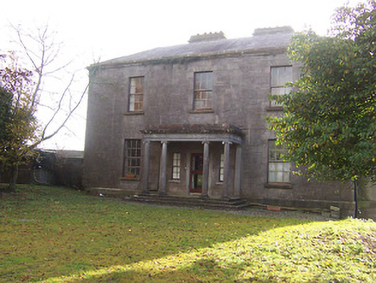 Griffinstown Housecountry house · 964 yd
 Rattin CastleCastle, tower house · 2.2 mi
 CastleCastle, unclassified · 2.6 mi
 Rahin WoodsForest · 5.8 mi
 Croppies' GraveMemorial · 6.0 mi
 Roundhill WoodForest · 6.2 mi
 Sli na Slainte - mapVisitor information · 15 mi
 IndicatedFairy fort / earthen ringfort · 1020 yd
 EnclosureEnclosure, large enclosure · 1405 yd