
What is recorded here
The church of Griffinstown is depicted on the 1654-7 Down Survey map of Farbill barony (NLI, MS 723-4). The terrier of the 1654-7 Down Survey map records that there was an old chapel in the townland of Griffinstown (ibid). Described in the 19th century as the ‘old church of Griffinstown, beautifully situated on a secluded swell of ground, measures forty-one feet six inches [12.65m] by seventeen feet seven inches [5.35m]. An aged ash tree spreads its branches over the site of the altar’ (Cogan 1867, vol. 2 438). In pasture on the demesne lands of Griffinstown House located 360m to the S. Present remains consist of a rectangular church (int. dims. 13.8 ENE-WSW; 5.4m N-S; wall T 0.6m) the walls of which are built with random rubble standing in the centre of the roughly-D-shaped graveyard (WM027-061001-). The W gable stands to full height, the N wall has been reduced to a few courses high, the S wall is better preserved while only the lower courses of the E gable survives upstanding. Remains of a doorway located off centre to W in S wall. Blocked up window visible in centre of W wall and a small window ope in the S wall located off centre to W. In the S quadrant of the graveyard close to the boundary wall are the remains of several architectural fragments belonging to the church. One of these fragments appears to be the head of a cusped trefoil window. A chamfered window jamb with two iron bar holes visible can be lying on the ground inside the church close to the W wall. Other architectural features belonging to the church have been reused as grave markers in the SE quadrant of the graveyard. A small square shaped font or stoup can be seen lying on the surface of the ground inside the graveyard.
Compiled by: Caimin O’Brien
Date of upload: 13 August 2013
The church at Griffinstown was likely built in the 17th century, as recorded on the 1654–7 Down Survey map, and may have been a small chapel serving a local Catholic community during a period of religious upheaval. Its exact builder and dedication are not recorded, but its presence reflects the persistence of Catholic worship in Ireland during the post-Plantation era.
The monument record does not grant public access. Check the route and ask the landowner before entering private land.
- What survives
- Recorded monument
Places near here
 Ecclesiastical enclosure in GriffinstownEcclesiastical enclosure · 17 yd
 Fulacht fia in GriffinstownFulacht fia · 254 yd
 Griffinstown Housedemesne walls/gates/railings · 317 yd
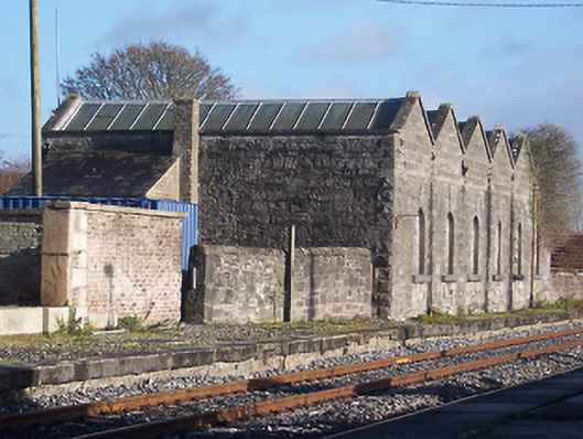 Killucan Railway Stationstore/warehouse · 1.7 mi
 Rattin CastleCastle, tower house · 1.9 mi
 CastleCastle, unclassified · 2.4 mi
 Rahin WoodsForest · 6.1 mi
 Roundhill WoodForest · 6.4 mi
 Croppies' GraveMemorial · 6.4 mi
 Allen family memorial headstoneMemorial · 15 mi
 Sli na Slainte - mapVisitor information · 15 mi
 IndicatedFairy fort / earthen ringfort · 576 yd
Other information
Photo: Credit not shown in the picture search · Rights wording not checked; contact us if this picture should be removed