What is recorded here
Fairy fort in Grenagh South is a 30-metre earthen ring on a south-facing slope, its bank rising two and a half metres above pasture. Conifers crowd the interior, partially hiding a low L-shaped bank in the north-east and a small platform in the south-east. People may have lived, herded or marked boundary there before the trees closed over the stones and soil. The ring still holds its shape, waiting for someone to walk it and remember what it kept.
In pasture, on S-facing slope. Circular area (30m N-S; 30m E-W) defined by earthen bank (max. H 2.5m). Interior planted with coniferous trees; low L-shaped bank (11.6m N-S; 1m E-W, at N end) in NE quadrant; platform (L 4m; Wth 3m; H 0.55m) in SE quadrant.
The above description is derived from the published 'Archaeological Inventory of County Cork. Volume 3: Mid Cork' (Dublin: Stationery Office, 1997). In certain instances the entries have been revised and updated in the light of recent research.
Date of upload/revision: 14 January 2009
The monument record does not grant public access. Check the route and ask the landowner before entering private land.
- What survives
- Recorded monument
Places near here
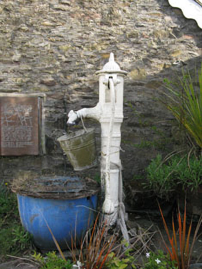 water pumpwater pump · 832 yd
 St Laghteen's Roman Catholic Churchchurch/chapel · 835 yd
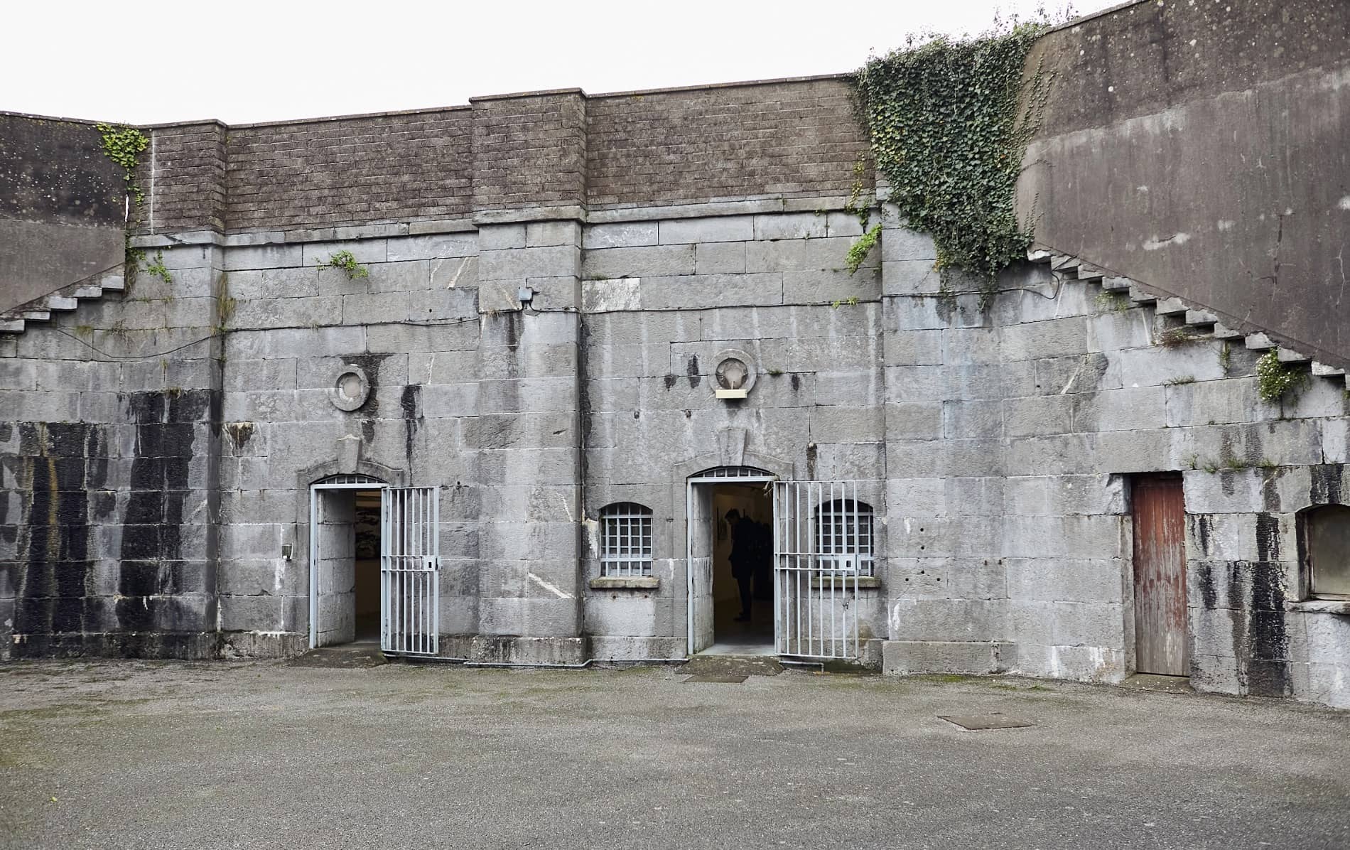 Enclosure in BallymorisheenEnclosure · 938 yd
 Enclosure in Ballyvaloon (barretts By.)Enclosure · 1120 yd
 Pairc Ath Na hEornaMemorial · 1.4 mi
 Graveyard in KilmonaGraveyard · 1.9 mi
 Castle (Site of)Castle, Anglo-Norman masonry castle · 2.0 mi
 Lyradane MountainMountain / peak · 2.4 mi
 Rock HillMountain / peak · 2.4 mi
 Garrycloyne Castle (in Ruins)Castle, tower house · 2.5 mi
 St John's WellSpring · 4.1 mi
 BatsVisitor information · 4.2 mi