What is recorded here
A road once bent sharply to respect the circle, but in the 1970s the earth was levelled and the bend erased. That sudden violence transformed a lived boundary into a ghost, leaving behind only the memory of a slight bank and shallow ditch. The land forgot its shape in a single generation, proving that even stone needs witness to remain real.
On a gentle N-facing slope in pasture. On the 1st (1839) and revised (1899-1900) eds. of the OS 6-inch map a public road runs along the edge of a roughly circular enclosure (diam. c. 46m) from E-SE-S. The enclosure was levelled in the 1970s. The acute bend in the road, which respected the monument, has since been removed and the road now runs NE-SW through the S portion of the enclosure. According to local memory the enclosure has a slight bank and a shallow outer fosse.
Compiled by: Jean Farrelly
Date of upload: 24 May 2021
The monument record does not grant public access. Check the route and ask the landowner before entering private land.
- What survives
- Recorded monument
Places near here
 Enclosure in BallywalterEnclosure · 291 yd
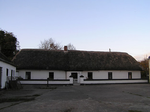 farm housefarm house · 1264 yd
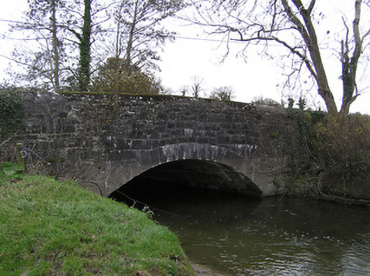 Killaloe Bridgebridge · 1398 yd
 Pedunculate OakPedunculate Oak · 1528 yd
 TobermoluaHoly well · 1718 yd
 Edmund Rice Heritage CentreMuseum · 1.5 mi
 CastleCastle, ringwork · 1.6 mi
 GreatwoodForest · 1.6 mi
 West CourtCastle, unclassified · 1.7 mi
 Local LifeVisitor information · 1.8 mi
 The MotteVisitor information · 1.9 mi
 Margaret RyanMemorial · 1.9 mi