What is recorded here
Fairy fort in Greaghglass, County Leitrim: a grass-covered circular platform about 25m across, raised on a prominent drumlin, with a shallow scarp and a field bank and outer ditch along part of its edge. It escaped the official maps, yet aerial photographs still show its clean circle. People may have lived there, marked bounds there, or simply avoided the place because the shape demanded respect.
Situated on top of a prominent drumlin. This monument is not marked on any edition of the OS 6-inch map. A circular feature is visible as n aerial photographs (GSIAP: H 133-2). This is a grass-covered circular platform (diam. 25m) defined by a scarp (H 0.4m), with a field bank and outer ditch on the perimeter SW-N.
The above description is derived from 'The Archaeological Inventory of County Leitrim' compiled by Michael J. Moore (Dublin: Stationery Office, 2003). In certain instances the entries have been revised and updated in the light of recent research.
Date of upload: 23 September 2008
The monument record does not grant public access. Check the route and ask the landowner before entering private land.
- What survives
- Recorded monument
Places near here
 IndicatedEnclosure · 1.1 mi
 European ashEuropean ash · 1.1 mi
 Turf IslandIsland · 1.4 mi
 Crane IslandIslet · 1.6 mi
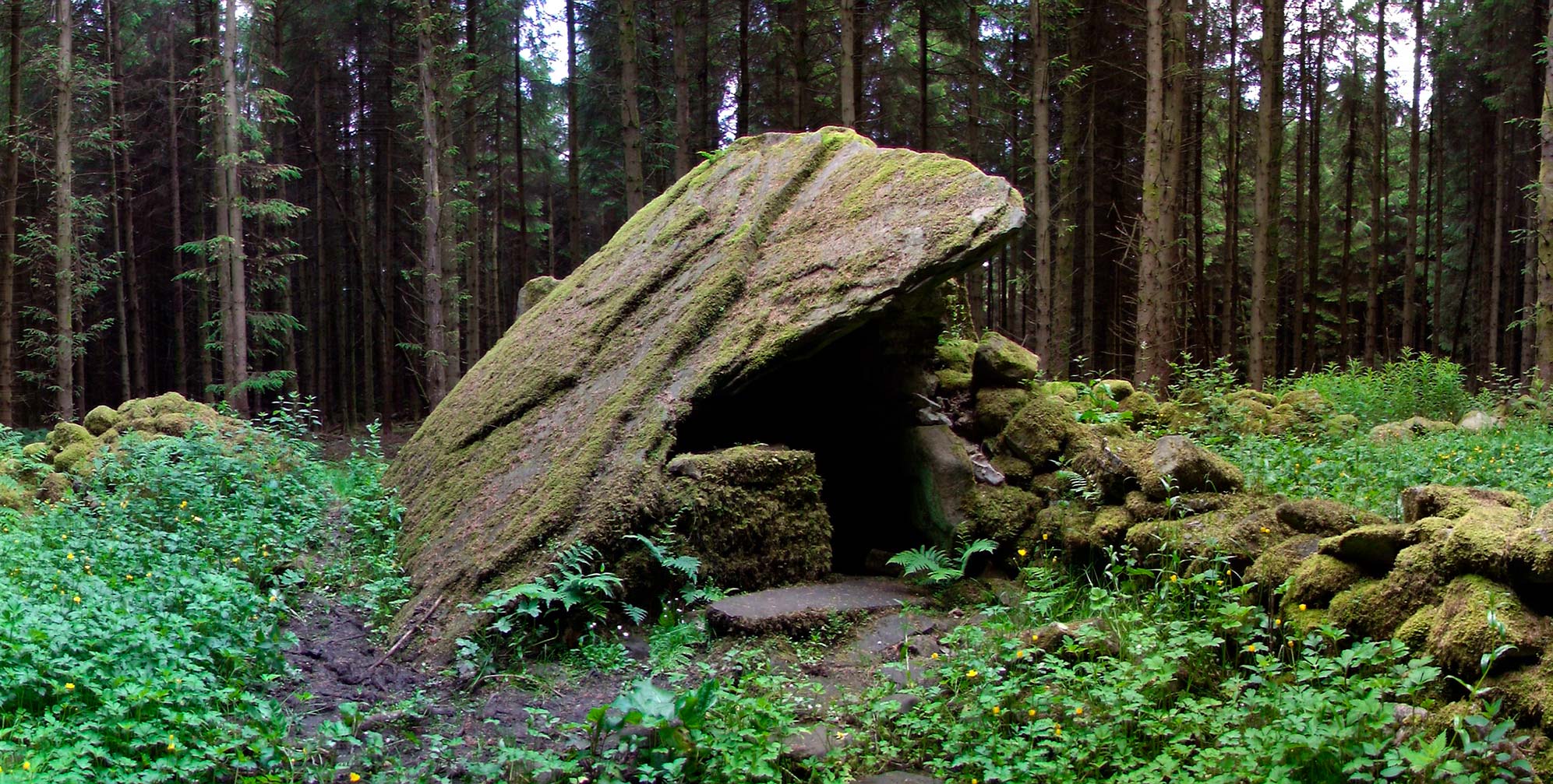 Druid's AltarArchaeological place · 1.7 mi
 Cromlin Bridge WoodWood · 1.8 mi
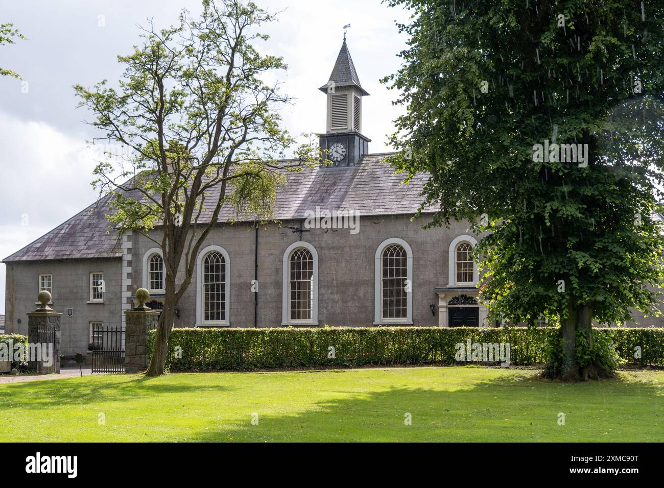 Site of Dernasmallan churchRuins · 1.8 mi
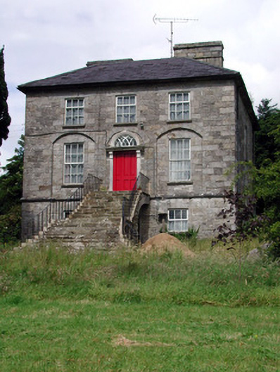 Aghacashel Housecountry house · 2.3 mi
 DrumbadMountain / peak · 2.3 mi
 CastleCastle, tower house · 2.6 mi
 CastleforeCastle, tower house · 3.0 mi
 Bartonny TopMountain / peak · 3.8 mi