What is recorded here
Half a kilometre of forgotten road leads to a circular grass chamber where an earthen bank still stands two to three metres high. The fort sits on a drumlin slope in County Monaghan, large enough for a household but stripped of its entrance and most of its explanation. People may have lived there, fled there or simply stopped walking past it because the shape demanded attention.
Located towards the bottom of the S-facing slope of a NW-SE drumlin ridge. This is a circular grass-covered area (diam. 35.4m N-S; int. diam. 32.7m N-S) that slopes down slightly to the S and is defined by an earthen bank (Wth of base 6-7.8m; int. H 0.5-0.7m; ext. H 2.2m at N to 3m at S) and hedge, with traces of an outer fosse (Wth of base c. 2m; ext. D 0.2-0.3m) SE-SW and at NW. The original entrance is not identified.
The above description is derived from the published 'Archaeological Inventory of County Monaghan' (Dublin: Stationery Office, 1986). In certain instances the entries have been revised and updated in the light of recent research.
Date of revision: 27 July 2017
The monument record does not grant public access. Check the route and ask the landowner before entering private land.
- What survives
- Recorded monument
Places near here
 Fairy fort / earthen ringfort in AghalileFairy fort / earthen ringfort · 1371 yd
 Glen Cottagehouse · 1510 yd
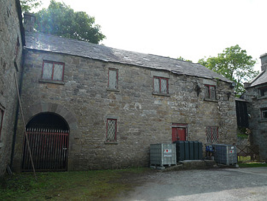 Derrylavan Millmill (water) · 1.5 mi
 Fin McCools TableMegalithic tomb · 1.6 mi
 Horse-chestnutHorse-chestnut · 1.7 mi
 European BeechEuropean Beech · 2.1 mi
 TobernagalliaghSpring · 2.7 mi
 Mannan Castle (in ruins)Castle, Anglo-Norman masonry castle · 3.1 mi
 RaferaghMountain / peak · 3.4 mi
 Drumerlough MoreMountain / peak · 3.4 mi
 Gully IslandIslet · 4.9 mi
 Natural Play AreaMemorial · 5.0 mi