What is recorded here
Greagharue holds a twenty-eight-metre circular scar where an irregular earthen bank still braces against the forgetting. A small rectangular house outline waits near the centre, perhaps marking the exact spot where someone lived before the field drain swallowed the southern edge. The fort has surrendered much of its shape to ordinary farming, yet the remaining curve suggests a life intense enough to resist erasure.
Raised circular area (int. diam. c. 28m) enclosed by an irregular, wide, low earthen bank from SW-N-NE. At the remainder of the site the bank has been incorporated into the field boundary and from SE-S-SW a field drain runs outside of it. Outline of small rectangular house site close to the centre of the internal area.
The above description is derived from the published 'Archaeological Inventory of County Cavan' (Dublin: Stationery Office, 1995). In certain instances the entries have been revised and updated in the light of recent research.
Date of upload/revision: 22 December 2008
The monument record does not grant public access. Check the route and ask the landowner before entering private land.
- What survives
- Recorded monument
Places near here
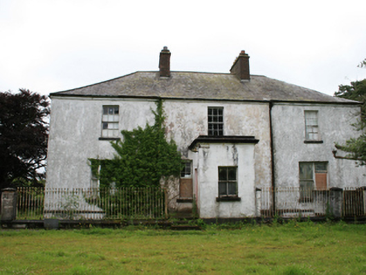 rectory/glebe/vicarage/curate's houserectory/glebe/vicarage/curate's house · 308 yd
 CastleCastle, motte · 946 yd
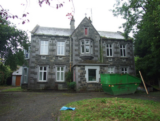 Tanderagee Housesteward's house · 1206 yd
 Tullynaskeagh WestForest · 1.1 mi
 Tullynaskeagh EastForest · 1.3 mi
 CarnalynchMountain / peak · 1.5 mi
 CarnagarveMountain / peak · 1.6 mi
 In Memory of Patrick KiernanMemorial · 1.9 mi
 Brothers GravesVisitor information · 1.9 mi
 Drumbannan FortArchaeological place · 2.0 mi
 MoatCastle, motte and bailey · 2.2 mi
 EnclosureEnclosure, large enclosure · 2.3 mi