What is recorded here
Fairy fort in Grassyard, County Longford: a 58m earthen ring on a NW-facing shelf, partly banked, partly scarped, with a shallow fosse and outer bank, its NE edge straightened for a field boundary and entrance no longer visible. People may have lived inside that circle before the boundary cut through it, or perhaps the fairies did, which is why it keeps the fairy name. Either way, the ring still holds its shape on the slope, waiting for someone to walk the whole circumference and remember what the field took.
On a shelf of level ground on a NW-facing slope. A raised subcircular area (58m E-W; 53.5m N-S) enclosed from SSE-S-W by a low bank of earth and stone (Wth 4.3-5.3m; H 0.2m) and elsewhere defined by a scarp (H 0.4-1m), with an intervening shallow fosse (Wth 2.7-5.2m; D 0.1-0.5m) from S-SW-W and a low outer bank (Wth 2.9-3m; H 0.3m) from SSW-SW. From NE-E-S the enclosing element has been straightened to accommodate a field boundary. The original entrance is not recognisable.
Compiled by: Patrick F. O'Donovan
Date of upload: 12 January 2012
The monument record does not grant public access. Check the route and ask the landowner before entering private land.
- What survives
- Recorded monument
Places near here
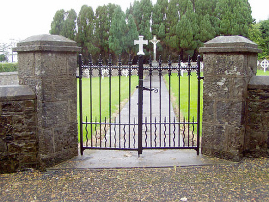 Convent of Mercygraveyard/cemetery · 541 yd
 Springlawngates/railings/walls · 603 yd
 Enclosure in TromraEnclosure · 890 yd
 Bakers FortCastle, ringwork · 1000 yd
 Dunclá or Black Pigs RaceArchaeological place · 1008 yd
 1798 Monumentmonument · 1350 yd
 Granard MotteMotte-and-bailey castle remains · 1498 yd
 CastleCastle, unclassified · 1519 yd
 CartronfreeMountain / peak · 2.3 mi
 CarrickabaneMountain / peak · 3.6 mi
 Derrycassan WoodsWood · 3.7 mi
 Moynagh Upper ForestForest · 4.1 mi