What is recorded here
Fairy fort in Grangepark, County Galway: a subcircular earthen ringfort about 37m by 32m, partly cut through by a field boundary. Little remains visible except a low rise in pastureland, yet the shape suggests people once drew a line around their own world. That line has softened with time, leaving behind a quiet challenge: to imagine the lives that filled it before the land forgot.
In pastureland. Marked on the OS 6-inch maps as a subcircular enclosure (c. 37m NE-SW; c. 32m NW-SE); a WNW-ESE field boundary cut across it from W to ESE. Apart from a low rise, no visible surface trace survives.
Compiled by: Galway Archaeological Survey, UCG
Date of upload: 11 March 2019
The monument record does not grant public access. Check the route and ask the landowner before entering private land.
- What survives
- Recorded monument
Places near here
 Enclosure in Grange (loughrea By.)Enclosure · 439 yd
 LisnarahaFairy fort / stone ringfort · 543 yd
 Ash IslandIslet · 687 yd
 Island McCooIslet · 1141 yd
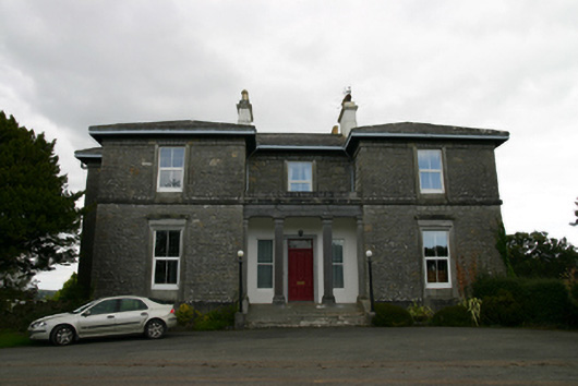 Coorheen Housecountry house · 1145 yd
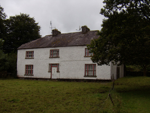 Abbeyville Househouse · 1531 yd
 Long PointHeadland · 1632 yd
 Site of CastleCastle, unclassified · 1.7 mi
 Site of Cloonoo CastleCastle, unclassified · 2.3 mi
 Scalpeen RockNamed rock · 4.1 mi
 Dartfield Horse MuseumHeritage attraction · 5.4 mi
 Derrybrien Bog SlideHeritage attraction · 6.3 mi