What is recorded here
No visible castle, no church tower, no standing stone. Only a shallow circular dip in flat Galway pasture, about thirty-four metres across, with a field boundary cutting through it. That is why the place resists imagination: it has given up almost all its shape. What remains is a low western scarp and a faint eastern trace, barely more than a change in grass and soil. Any life inside must have been ordinary, temporary, or forgotten so completely that the land itself stopped remembering it.
In flat pastureland. This possible rath (diam. 34m), which is poorly preserved, is circular in plan; a NNE-SSW field boundary cuts across it at N and SSE. It is defined by a low scarp to the W of the field boundary, however, only very slight traces of it are evident to the E.
Compiled by: Galway Archaeological Survey, UCG
Date of upload: 11 March 2019
The monument record does not grant public access. Check the route and ask the landowner before entering private land.
- What survives
- Recorded monument
Places near here
 Knockaunnageeragh Castle in ruinsCastle, unclassified · 876 yd
 Enclosure in Grange BegEnclosure · 1435 yd
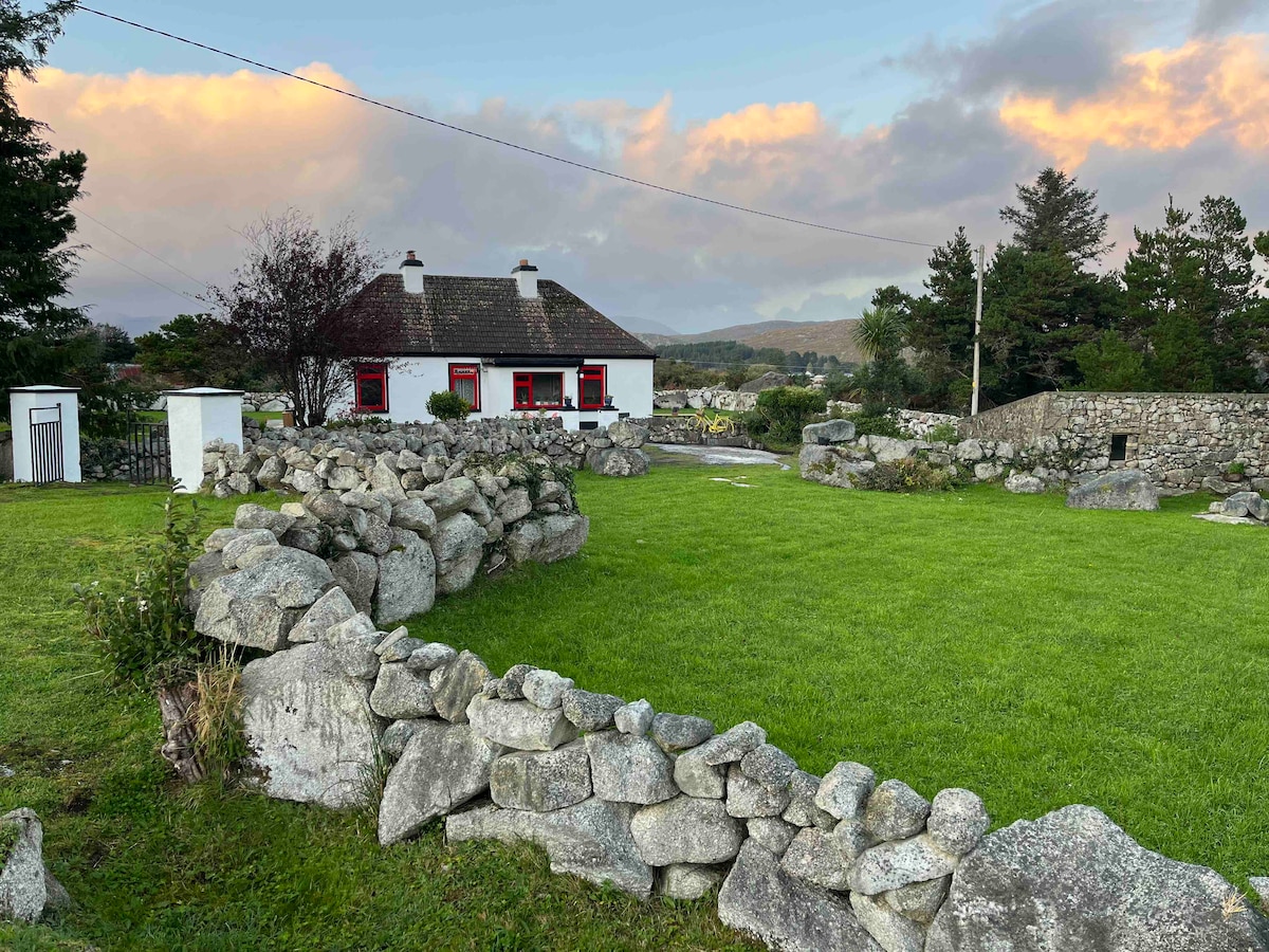 Templebanaha (in ruins)Church · 1562 yd
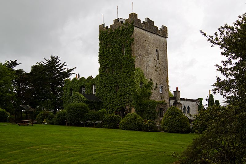 CastleCastle, unclassified · 1643 yd
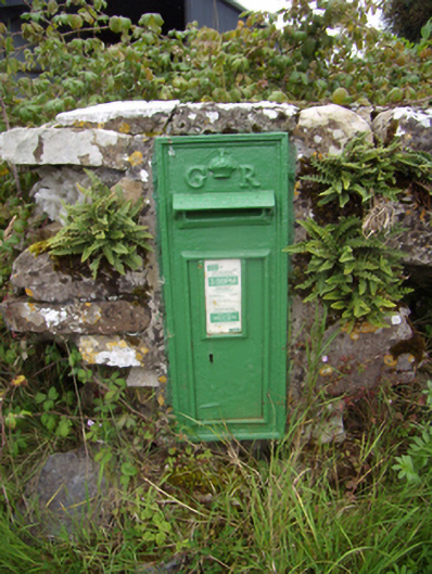 post boxpost box · 1655 yd
 Site of ToberelleenHoly well · 1.2 mi
 Quarryhill WoodWood · 2.5 mi
 Bog WoodForest · 3.1 mi
 Dartfield Horse MuseumHeritage attraction · 5.0 mi
 Battle of AughrimMajor battlefield · 9.3 mi
 The bloody HollowHeritage attraction · 9.3 mi
 Battle of Aughrim Interpretative CentreMuseum · 9.7 mi