What is recorded here
A circular earthen ringfort stands in Grange Lower pasture, its scarped edge rising nearly two metres before surrendering to briars and cattle wear. The name Fairy fort suggests people once believed the land belonged elsewhere, yet the measured bank and external fosse point to human hands shaping a defensible space. Cattle still grind the northern edge, continuing a long process of erosion that began before memory.
In pasture, on W-facing slope. Circular area (25.9m E-W; 24.5m N-S) defined by scarped edge (H 1.9m; Wth 3.4m), with external fosse (D 0.35m) N->E. Scarp, largely overgrown with briars and bushes, is worn down by cattle on N side. Low earthen bank (H 0.25m; Wth 1m) atop scarp N->NE. Level interior partially overgrown with briars and bushes.
Compiled by: Denis Power
Date of upload: 26 August 2011
A fairy fort / earthen ringfort in Grange Lower is a circular early-medieval defensive or agricultural enclosure, likely dating to between the 5th and 10th centuries AD. Local folklore often associates such sites with the supernatural, including tales of fairies or other otherworldly beings.
The monument record does not grant public access. Check the route and ask the landowner before entering private land.
- What survives
- Recorded monument
Places near here
 Grange Church (in ruins)Church · 137 yd
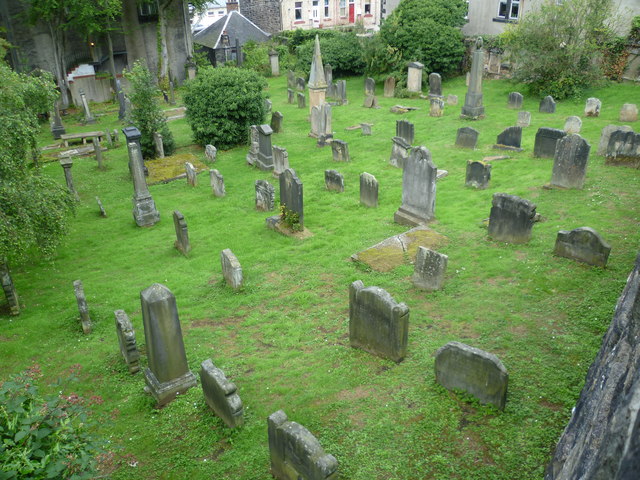 Burial GroundGraveyard · 144 yd
 Grange BridgeBridge · 154 yd
 BarrowBarrow, ditch barrow · 423 yd
 Templars Castle (in ruins)Castle, Anglo-Norman masonry castle · 2.0 mi
 Castle MahonCastle · 2.6 mi
 European ashEuropean ash · 3.0 mi
 St. Luke's WellSpring · 3.4 mi
 St. Kieran's WellSpring · 3.5 mi
 Limerick GreenwayWalking route · 5.2 mi
 Sugar HillMountain / peak · 6.6 mi
 Ballagh MountainMountain / peak · 7.3 mi