What is recorded here
Fairy fort / earthen ringfort in Graigue (condons and Clongibbon By., Kilworth Par.) stands as a circular earthwork near Graigue Wood. It appears on old maps as a distinct round enclosure, yet ploughing and tree planting have blurred its edges into an irregular rise. The loss of its sharp boundary does not erase the purpose of the site, which remains a marked human shape on the landscape.
In Graigue Wood, atop knoll on gentle S-facing slope, c. 150m to S of ringfort (CO028-001---). Depicted as circular enclosure (diam. c. 20m) on 1842 OS 6-inch map; as hachured circular raised area (diam. c. 22m) on 1905 and 1934 OS 6-inch maps. Disturbed due to deep ploughing and tree planting; irregularly shaped rise visible in area of site.
The above description is derived from the published 'Archaeological Inventory of County Cork. Volume 4: North Cork' (Dublin: Stationery Office, 2000). In certain instances the entries have been revised and updated in the light of recent research.
Date of upload/revision: 14 January 2009
The monument record does not grant public access. Check the route and ask the landowner before entering private land.
- What survives
- Recorded monument
Places near here
 IndicatedFairy fort / earthen ringfort · 168 yd
 Kilworth WoodWood · 867 yd
 Glansheskin Forest Recreation AreaVisitor information · 965 yd
 Killally Househouse · 985 yd
 Glansheskin WoodVisitor information · 1023 yd
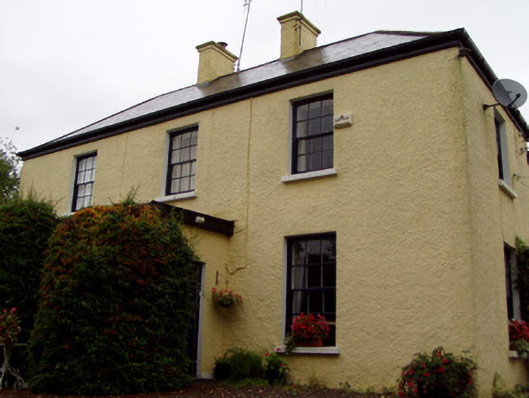 Knockbrack Househouse · 1304 yd
 Fulacht fia in GlansheskinFulacht fia · 1589 yd
 Macroney CastleCastle, tower house · 1.9 mi
 Kilworth CastleCastle · 2.0 mi
 FlagCave · 2.3 mi
 St Dominick's WellSpring · 4.9 mi
 Graveyard in BoherashGraveyard · 5.0 mi