What is recorded here
Fairy fort / earthen ringfort in Gragaugh is a fairy fort or earthen ringfort in Gragaugh, County Tipperary, Ireland. The poorly preserved site occupies a forty-five-metre circular area on a southeast-facing slope. A low rise marks the boundary from west through north to east, while a curving field line preserves the original earth and stone bank from southeast through south to southwest.
In grassland atop low rise of ground on a SE-facing slope of rising ground in upland region with good views in all directions. Poorly preserved remains of a levelled ringfort consists of a circular area (approx. diam. 45m NW-SE) defined by a low rise of ground barely visible from W through N through E to SE where it is intersected by a curving field boundary which preserves the original earth and stone bank (top Wth 2m; base Wth 5m; int. H0.5m; ext. H 1m) from SE through S to SW only. No other features visible.
Compiled by: Jean Farrelly
Date of upload: 26 August 2011
The monument record does not grant public access. Check the route and ask the landowner before entering private land.
- What survives
- Recorded monument
Places near here
 RoadRoad, road/trackway · 322 yd
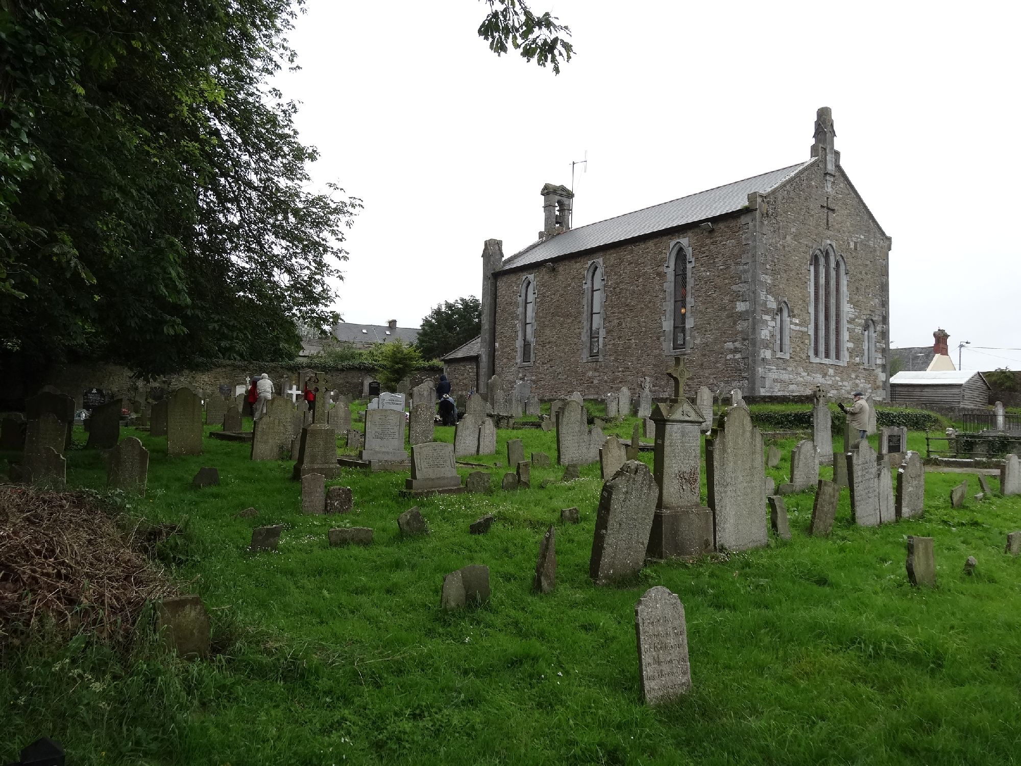 Church in GragaughChurch · 352 yd
 Enclosure in MohoberEnclosure · 1.1 mi
 Bawn in LismalinBawn · 1.2 mi
 IndicatedEnclosure · 1.6 mi
 Pedunculate OakPedunculate Oak · 2.2 mi
 Top Field at Carey'sForest · 2.3 mi
 Modeshil Castle (in ruins)Castle · 2.3 mi
 Knockuragh HillMountain / peak · 3.4 mi
 Warhouse HillMountain / peak · 3.9 mi
 Derrynaflan TrailHeritage attraction · 8.2 mi
 Gobban Saer's GraveArchaeological place · 9.2 mi