What is recorded here
Gowlaun holds a subcircular rath thirty metres wide on a pasture ridge, marked by a half-metre scarp and a faint northern rise. Later field banks cut across its western interior, tying the ancient outline to the living landscape. The fort has lost much of its shape, yet it still stands out in the grass as a place where people once drew a line around their own world.
On top of an E-W running ridge in pasture, within an extensive multiperiod field system (CL009-001001-). This subcircular rath (35.5m N-S; 30.5m E-W) is defined by a scarp (H 0.5-0.75m); a vague rise (H <0.1m; Wth 1m) from N to NE suggests the former presence of an earthen bank. A later earth and stone field bank, running NNE-SSW, cuts across the W half of the interior. Grass-covered field walls radiate from the scarp at SE, SSE and SSW. There is an enclosure (CL008-045007-) c. 86m to the NNE.
Compiled by: Olive Alcock and Conn Herriott
Date of upload: 4 October 2022
The monument record does not grant public access. Check the route and ask the landowner before entering private land.
- What survives
- Recorded monument
Places near here
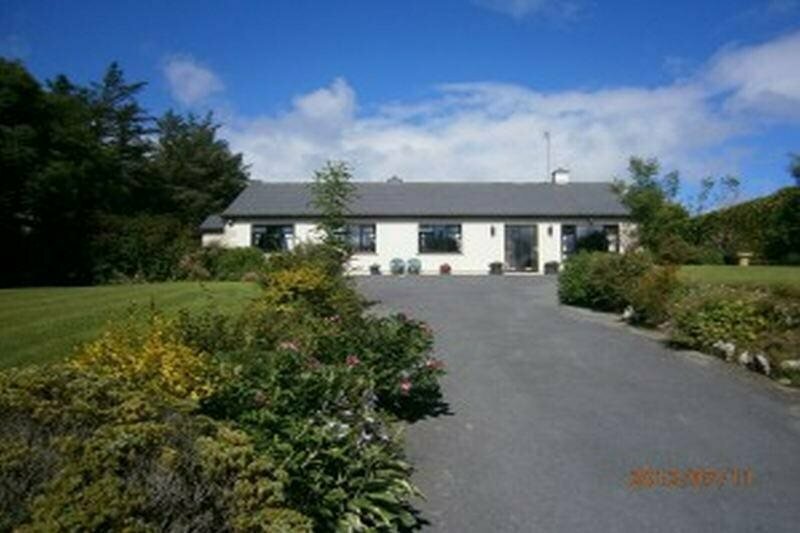 Enclosure in GowlaunEnclosure · 132 yd
 LissateeaunFairy fort / earthen ringfort · 351 yd
 Site of Lisdoonvarna CastleCastle, tower house · 669 yd
 IndicatedBawn · 738 yd
 Ballyteigue Nature ReserveNature reserve · 1159 yd
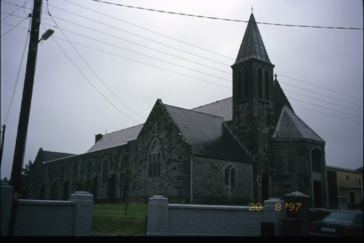 Corpus Christi Catholic Churchchurch/chapel · 1215 yd
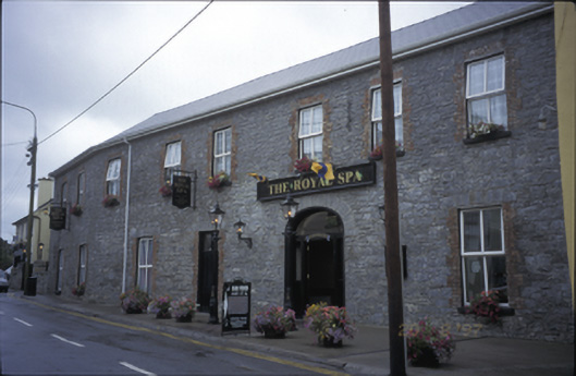 Royal Spa Hotelhotel · 1278 yd
 Poll CragreaghCave · 1.9 mi
 ( Polldonough ?)Cave · 2.0 mi
 Doolin Cave Visitor CentreHeritage attraction · 3.0 mi
 Slieve ElvaMountain / peak · 3.5 mi
 OughtdarraCliff · 3.8 mi