What is recorded here
Mortons and others still call it a fairy fort, though it is an earthen ringfort in Gortskagh pasture. Its oval bank stands ninety-five centimetres outside and drops into a narrow fosse, while the east interior was levelled to resist the slope. Cattle may walk around it now that old field boundaries disappeared, but the ring still marks a place where people shaped the land before the pasture swallowed the edges.
In pasture, on gentle E-facing slope. Oval area (60m E-W; 48m N-S) enclosed by earthen bank (int. H 0.3m; ext. H 0.95m) with external fosse (Wth 1.3m; D 0.45m). Interior, under pasture, has been levelled up on E side to compensate for slope of terrain. Field boundaries, which formerly abutted enclosure at E and NW, have been removed.
Compiled by: Denis Power
Date of upload: 26 August 2011
The monument record does not grant public access. Check the route and ask the landowner before entering private land.
- What survives
- Recorded monument
Places near here
 Mayne Ho.Castle, unclassified · 1.0 mi
 Ballynoe Castle (in ruins)Castle, tower house · 1.1 mi
 Partially indicatedEcclesiastical enclosure · 1.2 mi
 Clonetly Church (in ruins)Church · 1.2 mi
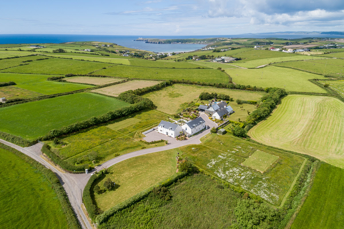 Enclosure in Ballynoe (glenquin By., Ballynoe West Ed)Enclosure · 1.3 mi
 Garbally WellSpring · 1.3 mi
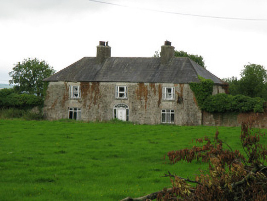 Brook Lodgecountry house · 1.4 mi
 Sunday WellSpring · 2.5 mi
 European ashEuropean ash · 4.2 mi
 Ballagh MountainMountain / peak · 6.6 mi
 Limerick GreenwayWalking route · 8.0 mi
 Mullaghareirk - Banane LoopWalking route · 8.7 mi