What is recorded here
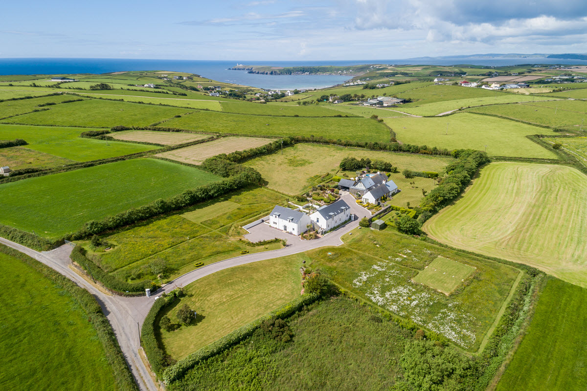
Enclosure in Ballynoe (glenquin By., Ballynoe West Ed) is a roughly triangular earthen bank in County Limerick pasture, with a southern ramp entrance, northern gaps, and a small rectangular area at its apex. It stands beside the ruin of Clonelty parish church, suggesting a lived landscape rather than a abandoned shape. The bank still holds its line under grass and overgrowth, inviting wonder about the people who made, used, and forgot it.
In pasture, on slight S-facing slope. Roughly triangular area (50m N-S; 38m E-W) enclosed by an earthen bank (int. H 0.6m; ext. H 1.55m) with an external fosse (D 0.85m; Wth 3m) SW->SE; both are covered by overgrowth. Entrance (Wth c. 2m) in bank at S with ramp leading up to interior. Gaps in bank at NE (Wth 3m), NW (Wth 4m) and N (Wth 4m). At N apex of enclosure a rectangular area (5m N-S; 6m E-W) is defined by enclosed bank W->E and by earthen bank (H 0.5m) connecting with it E->N. Interior is level and under rough pasture. Ruin of parish church of Clonelty (LI037-051---) lies c. 30m to WSW.
Compiled by: Denis Power
Date of upload: 26 August 2011
The monument record does not grant public access. Check the route and ask the landowner before entering private land.
- What survives
- Recorded monument
Places near here
 Clonetly Church (in ruins)Church · 80 yd
 Partially indicatedEcclesiastical enclosure · 125 yd
 Ballynoe Castle (in ruins)Castle, tower house · 778 yd
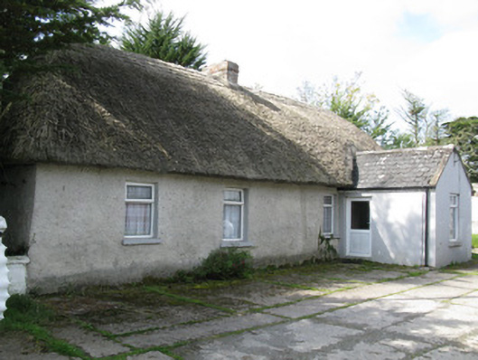 farm house, housefarm house, house · 1355 yd
 Sunday WellSpring · 1.3 mi
 Lady's WellSpring · 1.3 mi
 St Patricks WellHoly well · 1.4 mi
 Mayne Ho.Castle, unclassified · 2.1 mi
 European ashEuropean ash · 3.2 mi
 Ballagh MountainMountain / peak · 7.8 mi
 Limerick GreenwayWalking route · 8.5 mi
 Sugar HillMountain / peak · 9.5 mi
Other information
Photo: Credit not shown in the picture search · Rights wording not checked; contact us if this picture should be removed