What is recorded here
Situated on a N-facing slope of rising ground in a mountainous region. Described in the OS Letters (O'Flanagan 1930, vol. 3, 120) as a fort consisting of a circular area (diam. 30m approx.) enclosed by a low earthen bank. Not visible at ground level. A modern quarry is now located at this site.
The above description is derived from 'The Archaeological Inventory of County Tipperary. Vol. 1 - North Tipperary' compiled by Jean Farrelly and Caimin O'Brien (Dublin: Stationery Office, 2002). In certain instances the entries have been revised and updated in the light of recent research.
Date of upload/revision: 22 September 2008
A fairy fort or earthen ringfort in Gortshaneroe, likely dating to the early medieval period, is characterized by a circular enclosure (approximately 30m in diameter) with a low earthen bank. Local tradition associates such sites with fairy folk, and they were often avoided to prevent supernatural encounters.
The monument record does not grant public access. Check the route and ask the landowner before entering private land.
- What survives
- Recorded monument
Places near here
 Dunalley Castle (in ruins)Castle, unclassified · 469 yd
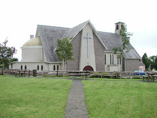 Catholic Church of Our Lady of Lourdeschurch/chapel · 1096 yd
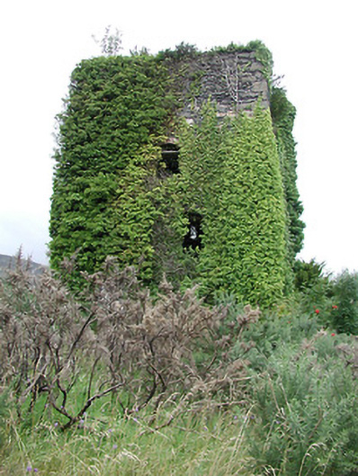 Silvermines Calamine and Lead Minesengine house · 1158 yd
 The MinerMemorial · 1317 yd
 Our Lady Assumed into HeavenMemorial · 1342 yd
 Silvermine Mountains E TopMountain / peak · 1379 yd
 Silvermine Mountains W TopMountain / peak · 1557 yd
 Silvermines ViewpointViewpoint · 1.0 mi
 KillelaneFairy fort / earthen ringfort · 1.1 mi
 Site of Ballygown CastleCastle, unclassified · 1.4 mi
 Sweet ChestnutSweet Chestnut · 1.7 mi
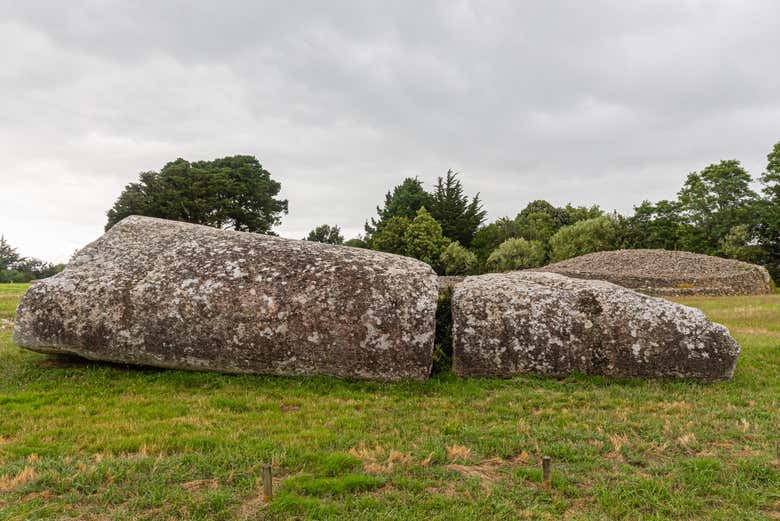 Megalithic structure in Bauraglanna,lackabrack (killoscully Par.)Megalithic structure · 1.7 mi