What is recorded here
No visible trace remains of the Gortroe fairy fort, though a sixty-metre embanked circle stood on that slight slope when surveyed in 1841. Ploughs and patience erased the ridge, leaving only a flat pasture field where a living boundary once stood. The land keeps its own calendar, taking back what it wants when it wants it.
In pasture, on slight SSE-facing slope. Monument, depicted as an embanked circular enclosure (diam. c. 60m) on 1841 OS 6-inch map, has been levelled. No trace of monument evident when inspected.
Compiled by: Denis Power
Date of upload: 26 August 2011
The monument record does not grant public access. Check the route and ask the landowner before entering private land.
- What survives
- Recorded monument
Places near here
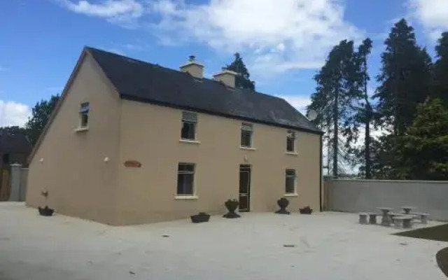 Enclosure in DrominEnclosure · 333 yd
 Moviddyhouse · 492 yd
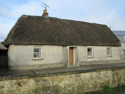 farm housefarm house · 930 yd
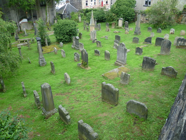 Burial GroundGraveyard · 1184 yd
 Templars Castle (in ruins)Castle, Anglo-Norman masonry castle · 1.6 mi
 Castle MahonCastle · 2.1 mi
 European ashEuropean ash · 3.5 mi
 St. Luke's WellSpring · 3.9 mi
 LaghtpatrickSpring · 4.1 mi
 Limerick GreenwayWalking route · 5.0 mi
 Sugar HillMountain / peak · 6.2 mi
 Ballagh MountainMountain / peak · 6.6 mi