What is recorded here
No fairies are recorded there, though people may have believed the hidden chamber under the hill was theirs. The fort is an earthen ring in Gortroche, County Cork, with a broken bank, a shallow fosse and a stone-faced edge beside four fields. It is the kind of place where human hands made a boundary, and story later filled the gap left behind.
In pasture, atop hill, at junction of four fields. Circular area (25m N-S; 23m E-W) defined by earthen bank (int. H 1.05m; ext. H 2.55m) SE->NNE; short section of fosse (D 0.25m) survives to N for c. 6m. Bank heavily overgrown; stone facing on external face of bank to N, similar to stone field boundary extending W from NW bank. Small break in bank to NNE. External fosse, hachured SW->NW on 1935 OS 6-inch map, no longer survives. Interior raised and slopes down to S; E side truncated by N-S field boundary with drain running along W side. Field boundary not inspected for remains of bank and fosse, due to hostile animal.
The above description is derived from the published 'Archaeological Inventory of County Cork. Volume 4: North Cork' (Dublin: Stationery Office, 2000). In certain instances the entries have been revised and updated in the light of recent research.
Date of upload/revision: 14 January 2009
The monument record does not grant public access. Check the route and ask the landowner before entering private land.
- What survives
- Recorded monument
Places near here
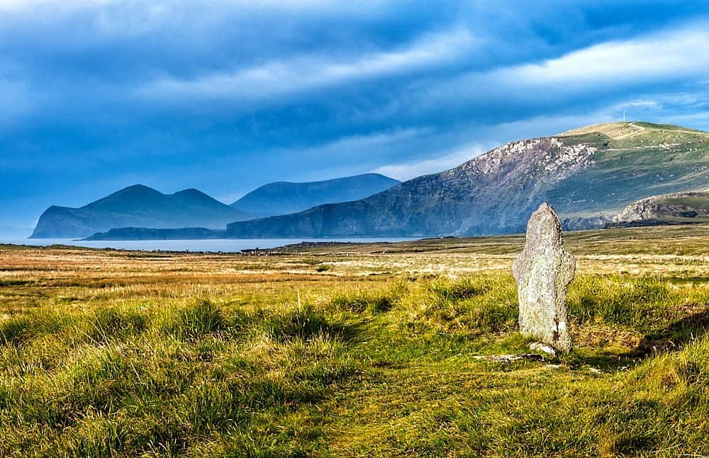 St Brendans WellHoly well · 595 yd
 mill (water)mill (water) · 1045 yd
 Castle (in Ruins)Castle, Anglo-Norman masonry castle · 1054 yd
 Castle Blagh (Site of)Castle, unclassified · 1142 yd
 Johnson's WoodForest · 1145 yd
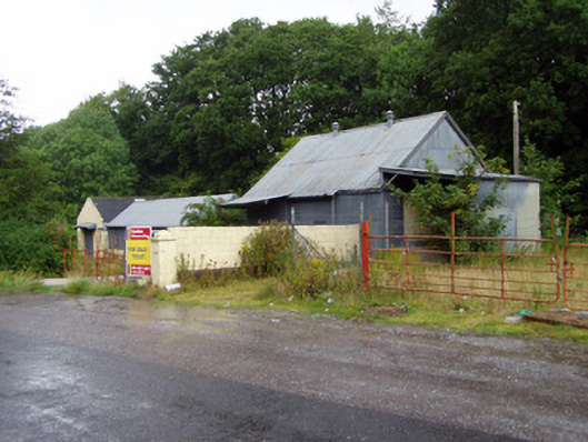 creamerycreamery · 1190 yd
 KilmoreEcclesiastical enclosure · 1328 yd
 Priest's WoodForest · 1741 yd
 Liam BurkeMemorial · 1.3 mi
 Blackwater (Avondhu) WayWalking route · 1.6 mi
 Knocknaskagh North TopMountain / peak · 2.1 mi
 Cappagh XViewpoint · 2.2 mi