What is recorded here
Fairy fort in Gortnaskeagh: a grass-covered ring, thirty-six metres wide, on a natural rise beneath Benbo Mountain. An earthen bank and outer ditch still mark its edge, though no entrance remains clear. People may have lived there, or feared what lived there, because the shape itself still holds the boundary between the known field and the hidden hill.
Located on a natural rise at the NW-facing foothills of Benbo Mountain. Grass-covered subcircular area (int. dims 36m E-W; 32.5m N-S) defined by an earthen bank (Wth c. 3m; max. ext. H 1.8m) N-NE which is reduced to a hedge-covered scarp elsewhere, and an external fosse (Wth 3-3.5m). There are traces of an outer bank (Wth 2m; H 0.3m) at N and SE but an original entrance is not identified.
The above description is derived from 'The Archaeological Inventory of County Leitrim' compiled by Michael J. Moore (Dublin: Stationery Office, 2003). In certain instances the entries have been revised and updated in the light of recent research.
Date of upload: 23 September 2008
The monument record does not grant public access. Check the route and ask the landowner before entering private land.
- What survives
- Recorded monument
Places near here
 BenboMountain / peak · 1.0 mi
 Old Barrack YardBastioned fort · 1.1 mi
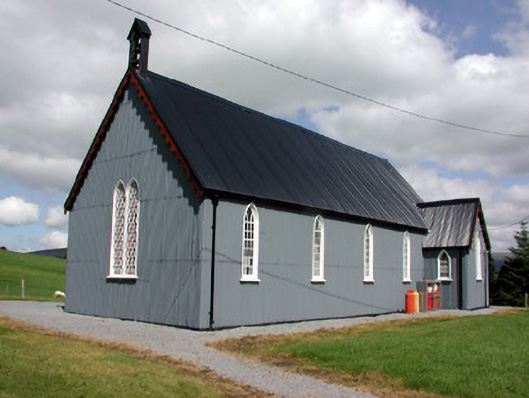 Lurganboy Church (Killasnet)church/chapel · 1.1 mi
 Castle CarCastle · 1.3 mi
 Not inidcatedEnclosure · 1.4 mi
 Giants RockNamed rock · 1.8 mi
 Longhill WoodForest · 2.0 mi
 Ashisland WoodForest · 2.1 mi
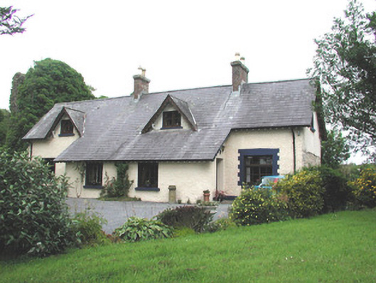 Manorhamilton Castlesteward's house · 2.3 mi
 Kilroosk RockNamed rock · 3.4 mi
 The Giants GraveArchaeological place · 3.4 mi
 Green IslandIslet · 3.9 mi