What is recorded here
Fairy fort in Gortnamuck, County Offaly: a 41m earthen ring with two banks, a narrow fosse, and a north-east entrance gap, still standing in pasture. The field boundary cuts across the outer bank from south-south-east to south-west, as if human ownership arrived later and struggled to fit the older shape. People may have lived, hidden, or marked time there before the fairies took the name; the earth keeps both claims without explaining which one is true.
In pasture in undulating countryside. Circular area (41m N-S; 41m E-W) enclosed by two earthen banks, intervening fosse (Wth 2m; D 0.5m) with entrance gap (Wth 2m) at NNE. Inner bank (Wth 4m; H 2m). Field boundary intercepts outer bank from SSE to SW.
The above description is derived from the published 'Archaeological Inventory of County Offaly' (Dublin: Stationery Office, 1997). In certain instances the entries have been revised and updated in the light of recent research.
Date of upload: 23 May 2011
The monument record does not grant public access. Check the route and ask the landowner before entering private land.
- What survives
- Recorded monument
Places near here
 Enclosure in GortnamuckEnclosure · 865 yd
 Mound in MoneyMound · 1106 yd
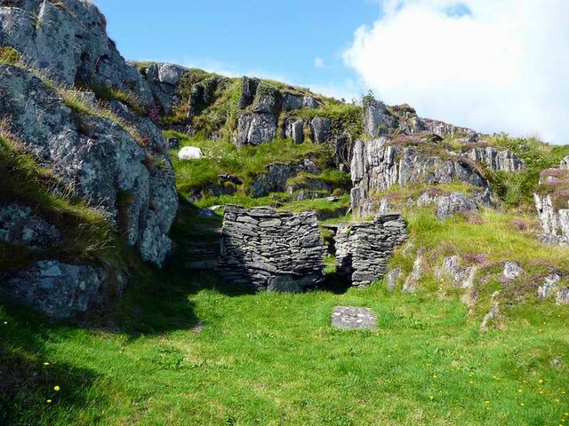 Saint Cormac's WellSpring · 1.4 mi
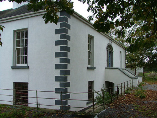 Annaghvillacountry house · 1.4 mi
 Kilcormac Garda Síochána Stationcourt house · 1.7 mi
 Arthur's WellSpring · 1.8 mi
 OutlinedCastle, unclassified · 1.8 mi
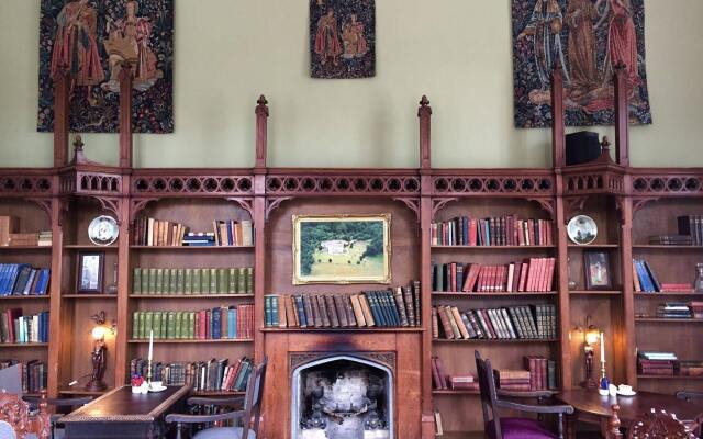 Broughal CastleCastle, unclassified · 2.0 mi
 Graveyard in Ballyboy (ballyboy By.)Graveyard · 2.4 mi
 Knockhill GroveWood · 2.4 mi
 Beach ClumpWood · 2.5 mi
 Troy's Island or DerryheeraghMountain / peak · 4.1 mi