What is recorded here
Forty-five metres across on high Offaly ground, the fort keeps two earthen banks and a narrow fosse around a small eastern mound. Cattle may still walk the pasture above it, unaware that they graze a chamber where human hands shaped soil into a circle centuries ago. The southeast gap remains open, inviting entry into a space now hidden beneath vegetation and time.
In pasture on high ground. Circular area (45m N-S ) enclosed by two earthen banks separated by intervening fosse (Wth 2m; D 1m) with entrance gap (Wth 3m) at SE. Inner bank (Wth 2.3m; ext. H 3m) best preserved with outer bank levelled at NE. Small mound (5.6m x 4.6m) located in E sector of interior. Site heavily overgrown making examination difficult.
The above description is derived from the published 'Archaeological Inventory of County Offaly' (Dublin: Stationery Office, 1997). In certain instances the entries have been revised and updated in the light of recent research.
Date of upload: 23 May 2011
The monument record does not grant public access. Check the route and ask the landowner before entering private land.
- What survives
- Recorded monument
Places near here
 Mound in MoneyMound · 975 yd
 Man-made underground passage in Ballylonnan (ballyboy By.)Man-made underground passage · 1250 yd
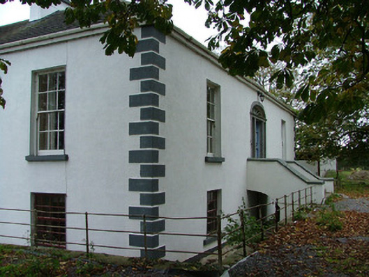 Annaghvillacountry house · 1602 yd
 Kilcormac Garda Síochána Stationcourt house · 1.2 mi
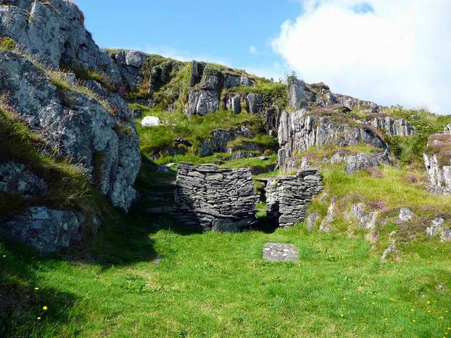 Saint Cormac's WellSpring · 1.3 mi
 Arthur's WellSpring · 1.3 mi
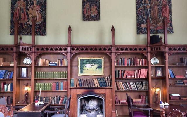 Broughal CastleCastle, unclassified · 1.8 mi
 OutlinedCastle, unclassified · 1.8 mi
 Graveyard in Ballyboy (ballyboy By.)Graveyard · 1.9 mi
 Knockhill GroveWood · 2.0 mi
 Beach ClumpWood · 2.1 mi
 Troy's Island or DerryheeraghMountain / peak · 3.6 mi