What is recorded here
Gortnalibbert holds a broken ring of yellow earth beside the Scardan River, where a farm track has cut through its southern edge. The grassy ditch inside suggests a buried passage, hinting that the fort hid chambers rather than merely exposing a yard. People may have built the visible bank to keep water out or the hidden trench to keep intruders from the truth.
Situated in low-lying marshy grassland on the W bank of the S-N Scardan River with the stream c. 70-100m to the E. This is a grass-covered D-shaped area (int. dims 28m E-W; 24m N-S) defined by a large, round-topped, overgrown, earthen bank (Wth 5.4m; int. H 0.45m at W to 1.2m at E) which is truncated by a farm track and field bank at S. The entrance (Wth 3m) is at NE and an L-shaped hollow (D 0.5m) covering much of the interior may be a destroyed Man-made underground passage.
The above description is derived from 'The Archaeological Inventory of County Leitrim' compiled by Michael J. Moore (Dublin: Stationery Office, 2003). In certain instances the entries have been revised and updated in the light of recent research.
Date of upload: 23 September 2008
The monument record does not grant public access. Check the route and ask the landowner before entering private land.
- What survives
- Recorded monument
Places near here
 Enclosure in MunnagashelEnclosure · 801 yd
 Enclosure in GlenboyEnclosure · 1540 yd
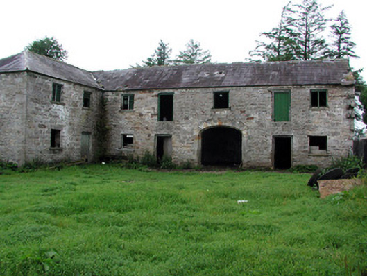 Hollymountoutbuilding · 1692 yd
 The Giants GraveArchaeological place · 1.5 mi
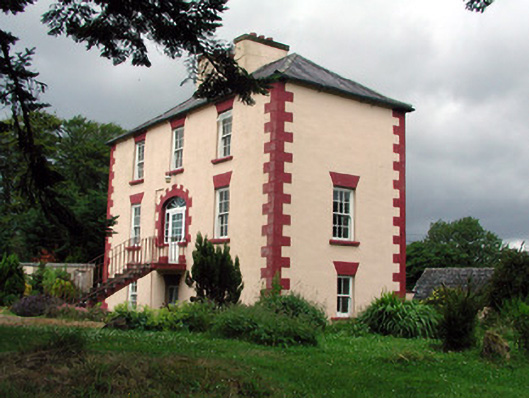 Fortland Housecountry house · 1.7 mi
 Ballaghnabehy TopMountain / peak · 1.8 mi
 Giants RockNamed rock · 3.0 mi
 Dough MountainMountain / peak · 3.7 mi
 Kilroosk RockNamed rock · 4.7 mi
 Ashisland WoodForest · 5.2 mi
 Longhill WoodForest · 5.5 mi
 Green IslandIslet · 6.1 mi