What is recorded here
In pasture, on SSW facing slope just below summit of low hillock with good views from E-S-W and limited views to N. Fulacht fia (TN040-054----) located 80m to S. Circular area (int. diam. 25m NE-SW; 28.7m N-S) with slightly concave interior defined by an earth and stone bank (top Wth 2m; base Wth 6m; int. H 0.4m; ext. H 1.5m) best preserved on the upslope from N-E and from SW-W, elsewhere by a scarp (ext. H 0.5m). The external face of the enclosing bank is intersected at N by a field boundary running E-W. An external fosse (Wth 2m; ext. D 0.2m) is only visible on the upslope from NE-E and elsewhere this feature has been replaced by a berm (Wth 4.3m) only visible on the downslope from SE-S-W. No clear entrance feature visible. Monument is clearly visible on Bing Maps aerial photograph taken between 06 November 2011 and 27 March 2012 (http://www.bing.com/maps).
Compiled by: Caimin O’Brien
Date of upload: 16 October 2013
The monument record does not grant public access. Check the route and ask the landowner before entering private land.
- What survives
- Recorded monument
Places near here
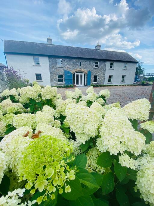 Fulacht fia in GortnahallaFulacht fia · 92 yd
 Fulacht fia in FinnahyFulacht fia · 511 yd
 Moher HillMountain / peak · 1567 yd
 Saint Patrick's National Schoolschool · 1.1 mi
 Catholic Church of the Sacred Heartchurch/chapel · 1.2 mi
 Castle (in Ruins)Bawn · 1.5 mi
 CastleCastle, ringwork · 1.9 mi
 Pallas HillMountain / peak · 2.2 mi
 Kilvilcorris BogForest · 4.9 mi
 Killavalla WoodForest · 6.4 mi
 Silvermines ViewpointViewpoint · 11 mi
 Our Lady Assumed into HeavenMemorial · 11 mi