What is recorded here
Fairy fort / earthen ringfort in Gortnagrelly is a fairy fort or earthen ringfort in Gortnagrelly, County Sligo, Ireland. The oval earthwork straddles a narrow ridge where natural slopes replace much of the artificial bank. A visible earth bank and external fosse remain only on the eastern and western sides because the ridge itself provides defensive height elsewhere. Quarrying disturbed part of the structure, but the earthen scarped edge still marks the boundary of the ancient enclosure.
Straddling the summit of a narrow E-W orientated ridge in undulating pasture. Slightly raised oval area (dims. 43m E-W; 25m N-S) enclosed by a bank of earth (Wth 3m; ext. H 1.2m). At the external foot of the bank is a fosse (Wth 6.8m; D 1m). The bank and fosse are only evident at the E and W sides of the enclosure where required as the natural slopes of the ridge on which the site is located provide good natural defensive height. The bank encloses the site SW-NW and NE-SE. The bank is absent elsewhere and the site is defined by an earthen scarped edge. Only a very slight trace of the bank is visible SW-NW and from NE-SE it has been disturbed by quarrying. The fosse encloses the site SW-NW and is absent elsewhere. The original entrance is not recognisable.
Compiled by: Patrick F. O'Donovan
Date of upload: 21 April 2011
The monument record does not grant public access. Check the route and ask the landowner before entering private land.
- What survives
- Recorded monument
Places near here
 Enclosure in LugatoberEnclosure · 1331 yd
 Enclosure in Castlegal (carbury By., Glencar Ed)Enclosure · 1393 yd
 Copes MountainMountain / peak · 1610 yd
 Glencar Lough ViewpointViewpoint · 1.5 mi
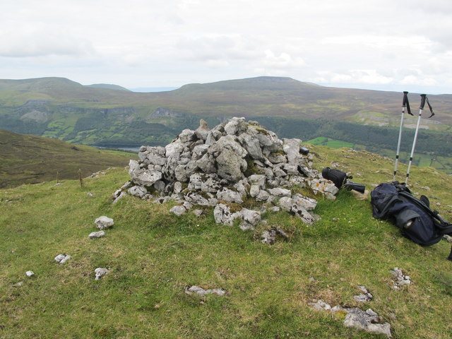 CrockaunsMountain / peak · 1.9 mi
 Gleniff Barytes MineRuins · 1.9 mi
 Glencar IslandIslet · 1.9 mi
 Glencar WaterfallVisitor information · 1.9 mi
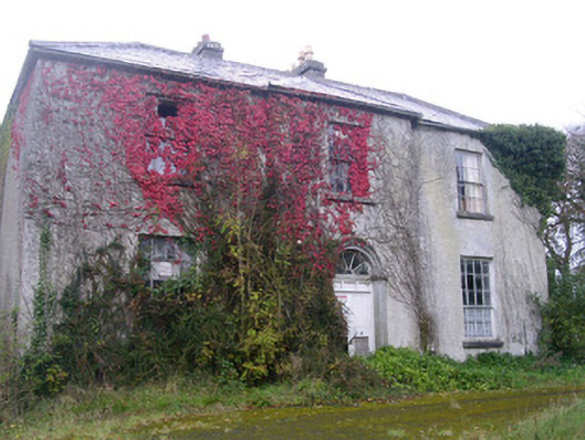 Doonally Househouse · 2.2 mi
 Memorial Francis FinnMemorial · 2.6 mi
 Doneen WestCliff · 2.6 mi
 Dermot & Grania's BedCave · 3.1 mi