What is recorded here
Mortons and Gortnagappul still hide inside broad pasture and forgotten boundary lines. An oval bank of earth and stone circles thirty-four metres of grass, with gaps facing east, south and west like doors left open for breath. The eastern edge has merged into a field fence, proving that human hands keep shaping the frame even when they stop remembering the meaning. A fort is only a room without a roof; the fairies may have simply declined to leave it empty.
In pasture, on E-facing slope. Oval shaped area (34.5m N-S; 27.5m E-W) enclosed by earth and stone bank (H 1.3m). Gaps in bank to ENE, S and W. Bank to E forms part of N-S field fence.
The above description is derived from the published 'Archaeological Inventory of County Cork. Volume 2: East and South Cork' (Dublin: Stationery Office, 1994). In certain instances the entries have been revised and updated in the light of recent research.
Date of upload/revision: 14 January 2009
The monument record does not grant public access. Check the route and ask the landowner before entering private land.
- What survives
- Recorded monument
Places near here
 Mount Uniacke (in Ruins)Country house · 1070 yd
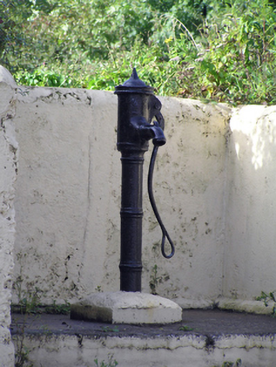 water pumpwater pump · 1097 yd
 Glenbower WoodForest · 1565 yd
 Enclosure in Corbally (imokilly By., Dangandonovan Par.)Enclosure · 1.1 mi
 Castle (in Ruins)Castle, unclassified · 1.2 mi
 Dovecote in AghadoeDovecote · 1.2 mi
 Fainin's WellSpring · 1.3 mi
 Historical Graveyard InformationVisitor information · 2.2 mi
 Castle (Site of)Castle, unclassified · 3.2 mi
 Leahy's Open FarmHeritage attraction · 4.1 mi
 Clonmult Ambush SiteBattlefield · 4.3 mi
 William Heffernan MemorialMemorial · 4.6 mi