What is recorded here
Fairy forts are often called such because they have no visible human owner, and this is one of them: a 30m earthen ring on a west-facing slope in Gortnaclogh, Muskerry East, with a shallow outer ditch and a taller outer bank running from northwest to northeast. It sits in pasture above a stream, half absorbed by a field fence, as if the land took it back after people stopped naming it. The shape remains exact while its history becomes rumor, which is why such places feel less like ruins and more like invitations to imagine the absent lives that made them.
In pasture, on W-facing slope, overlooking stream. Circular area (diam. 30m) enclosed by earthen bank (int. H 0.5m); external fosse (D 0.7m) NW->NE; outer bank (H 1m) NW->NE. Field fence skirting enclosure on W side may incorporate outer bank.
The above description is derived from the published 'Archaeological Inventory of County Cork. Volume 3: Mid Cork' (Dublin: Stationery Office, 1997). In certain instances the entries have been revised and updated in the light of recent research.
Date of upload/revision: 14 January 2009
The monument record does not grant public access. Check the route and ask the landowner before entering private land.
- What survives
- Recorded monument
Places near here
 Corran Househouse · 1100 yd
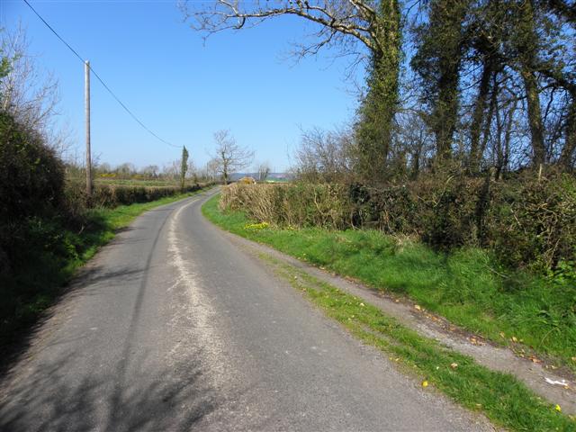 IndicatedEnclosure · 1564 yd
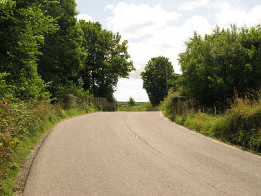 bridgebridge · 1.1 mi
 Enclosure in Ballymurphy SouthEnclosure · 1.1 mi
 Bi-Centenary of 1798Memorial · 1.2 mi
 Ballyhandle Castle (in Ruins)Castle, Anglo-Norman masonry castle · 2.2 mi
 Charlie Hurley MemorialMemorial · 2.2 mi
 Corbally Montessori & Early Years' Pre-schoolVisitor information · 2.6 mi
 Sunday WellSpring · 2.9 mi
 Rumley's Open FarmHeritage attraction · 3.2 mi
 Ballyburden Castle (Site of)Castle, unclassified · 3.5 mi
 Sunday's WellSpring · 3.7 mi