What is recorded here
No visible gate, no central hollow, no intact ditch. The bank is broad enough to walk beside and low enough to sit on. A modern path crosses the old ditch line, and a field boundary leans against the west side. The fort has lost its shape but kept its position at the end of a ridge.
At the SE end of a prominent NW-SE ridge in low-lying pasture. A raised subcircular area (39.8m ENE-WSW; 33.6m NNE-SSW) enclosed by a substantial bank of earth and stone (Wth 5.6m; H 0.6-1.1m) with fragmentary traces of an infilled external fosse (Wth 2.9m). From SSW-W-WNW the outer face of the bank has been steepened and incorporated into a field boundary. A modern pathway has been laid upon the line of the fosse. The present entrance at NNE does not appear to be original.
Compiled by: Patrick F. O'Donovan
Date of upload: 26 August 2011
The monument record does not grant public access. Check the route and ask the landowner before entering private land.
- What survives
- Recorded monument
Places near here
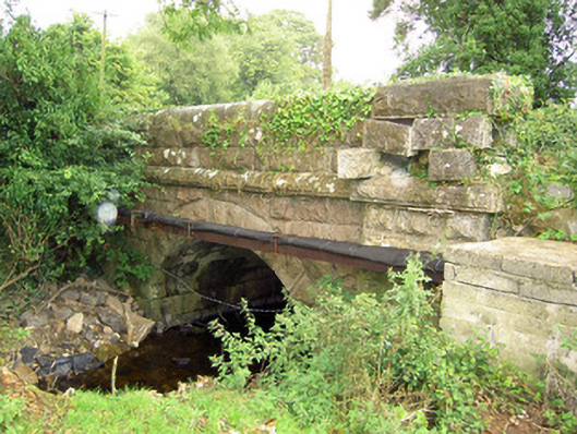 bridgebridge · 543 yd
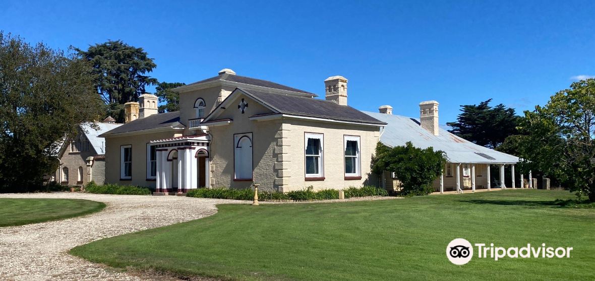 Enclosure in CaldraghmoreEnclosure · 630 yd
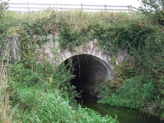 bridge, aqueductbridge, aqueduct · 997 yd
 Enclosure in AghantrahEnclosure · 1648 yd
 Graveyard in Curry (ardagh By., Coolamber Ed)Graveyard · 1713 yd
 CastleCastle, tower house · 1.2 mi
 First World War MemorialMemorial · 3.7 mi
 Saint Mel's CathedralCathedral · 3.8 mi
 Bawn in AbbeycartronBawn · 4.0 mi
 Commons North WalkVisitor information · 6.4 mi
 Wild birdsVisitor information · 6.5 mi
 White Sand WoodWood · 6.6 mi