What is recorded here
Situated at N end of a N-S ridge with good views of the surrounding countryside. Impressive hilltop siting along with high raised interior might suggest high status ringfort. Present remains consist of a raised circular-shaped platform (diam. 45m NNE-SSW; 32m WNW-ESE) defined by a bank mainly reduced to a scarp with enclosing deep, wide fosse and external bank which may be a later enclosing field boundary. Possible causewayed entrance gap (Wth 1.7- 6.4m) at ENE which has been widened by livestock.
See attached profile of monument surveyed and drawn by the ASI.
Compiled by: Caimin O'Brien
Date of upload: 29 August 2018
The monument record does not grant public access. Check the route and ask the landowner before entering private land.
- What survives
- Recorded monument
Places near here
 Mass-rock in Gorteen (fartullagh By.)Mass-rock · 414 yd
 OutlinedFairy fort / earthen ringfort · 514 yd
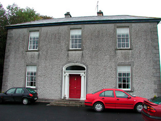 Clonmoyle Househouse · 847 yd
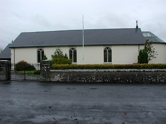 Catholic Church of the Immaculate Conceptionchurch/chapel · 927 yd
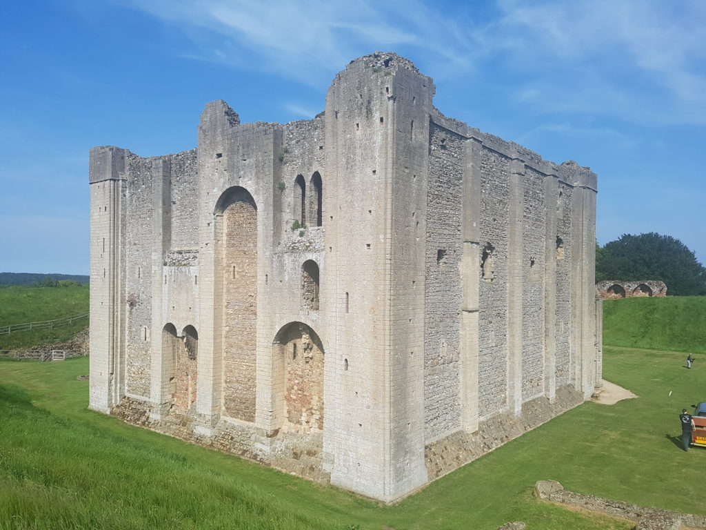 CastleCastle, unclassified · 1.3 mi
 Castle in RuinsCastle, tower house · 1.5 mi
 Belvedere house and gardensVisitor information · 1.5 mi
 Mollie Moo's Pet FarmHeritage attraction · 1.9 mi
 Ash IslandIslet · 3.4 mi
 Dysart IslandIsland · 3.4 mi
 United Nations War MemorialMemorial · 3.6 mi
 Saint Brigid's WellSpring · 4.4 mi