
What is recorded here
Situated on rocky grassland on S facing slope of low ridge running E-W with good views of surrounding countryside. Ringfort (WM026-031----) with Man-made underground passage (WM026-031001-) 285m to SSE, second ringfort (WM026-027---) 425m to N. Mass rock (WM026-125----) 260m to WNW. Ruins of late 19th century farmhouse built onto S side of ringfort as depicted on the 1912 ed. OS 6-inch map. Site interior now inaccessible due to dense cover of vegetation. Remains consist of a raised roughly circular-shaped platform (approx. diam. 45m NE-SW; 38m NW-SE) enclosed by a bank reduced to a scarp in places and external fosse.
Compiled by: Caimin O'Brien
Date of upload: 30 August 2018
The monument record does not grant public access. Check the route and ask the landowner before entering private land.
- What survives
- Recorded monument
Places near here
 Mass-rock in Gorteen (fartullagh By.)Mass-rock · 312 yd
 Not idicatedMan-made underground passage · 361 yd
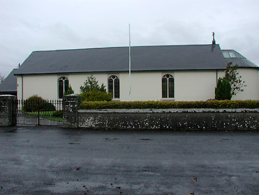 Catholic Church of the Immaculate Conceptionchurch/chapel · 784 yd
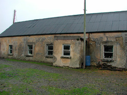 farm housefarm house · 1171 yd
 Castle in RuinsCastle, tower house · 1.2 mi
 Belvedere house and gardensVisitor information · 1.5 mi
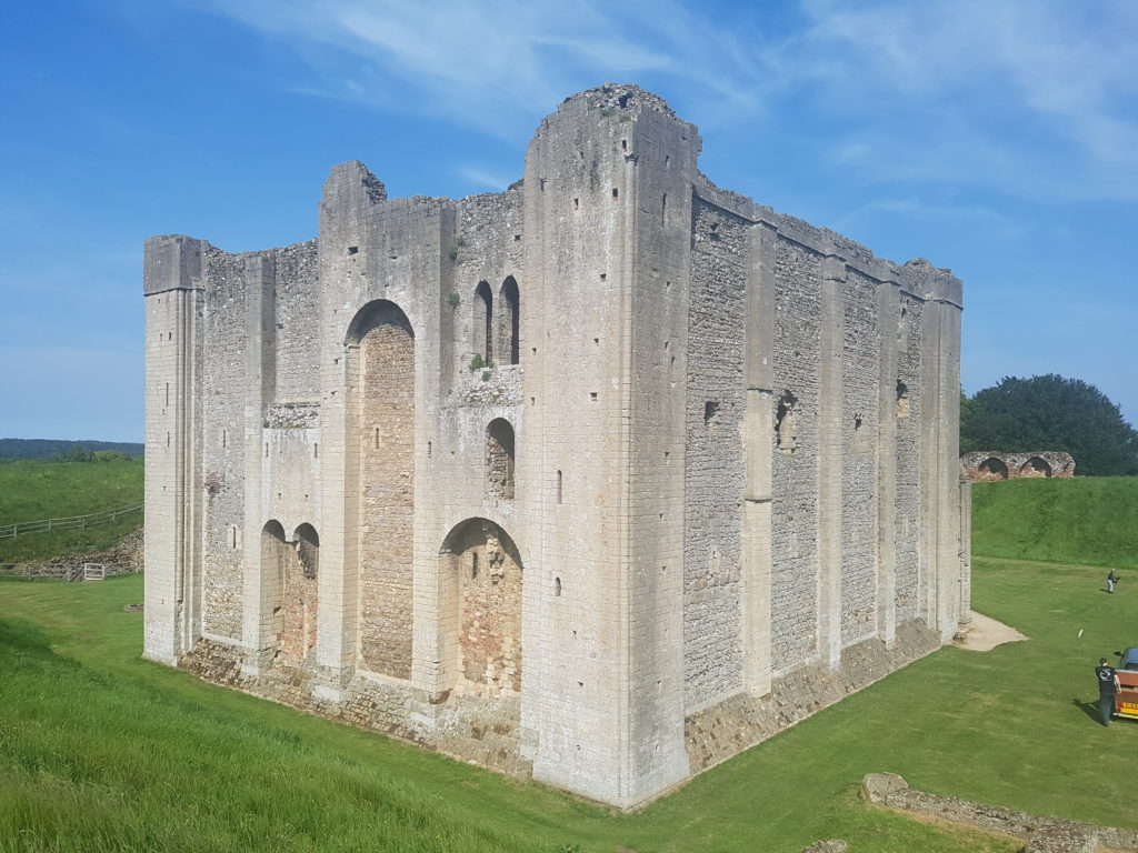 CastleCastle, unclassified · 1.5 mi
 Mollie Moo's Pet FarmHeritage attraction · 1.8 mi
 Ash IslandIslet · 3.4 mi
 Dysart IslandIsland · 3.4 mi
 United Nations War MemorialMemorial · 3.9 mi
 Saint Brigid's WellSpring · 4.7 mi
Other information
Photo: Credit not shown in the picture search · Rights wording not checked; contact us if this picture should be removed