What is recorded here
Fairy fort in Gorteen, County Galway: a worn earth ring, thirty metres across, half buried under grass and forgetting. Inside the old guardrail of soil, someone has dumped the detrital life of the farm, breaking the circle into ordinary utility. Yet the fort remains visible in the yard, a ghost of human shape asserting itself through neglect.
In the farmyard of Gorteen House, in grassland. Very poorly preserved subcircular rath (N-S 30.7m) defined by two banks and an intervening fosse from S through W to N. No visible surface trace survives elsewhere. The interior is presently used as a dump.
The above description is derived from the published 'Archaeological Inventory of County Galway Vol. II - North Galway'. Compiled by Olive Alcock, Kathy de hÓra and Paul Gosling (Dublin: Stationery Office, 1999).
Date of upload: 05 August 2010
The monument record does not grant public access. Check the route and ask the landowner before entering private land.
- What survives
- Recorded monument
Places near here
 Rook HillMountain / peak · 459 yd
 Enclosure in CastletogherEnclosure · 1290 yd
 Castle (in ruins)Castle, unclassified · 1416 yd
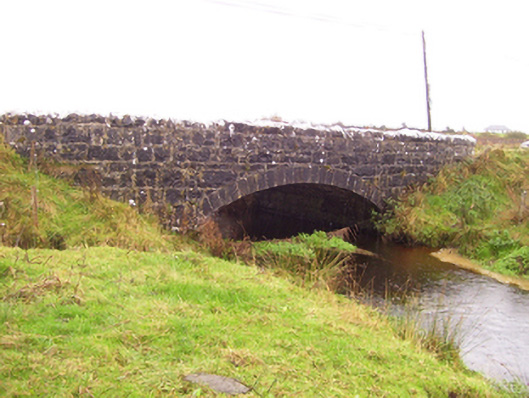 Blacker's Bridgebridge · 1463 yd
 Church in ruinsChurch · 1606 yd
 St. Patricks ShrineShrine · 1682 yd
 CastleCastle, unclassified · 1.8 mi
 Site of Killomaine Grave YardArchaeological place · 3.5 mi
 HawthornHawthorn · 8.0 mi
 Mount MaryMountain / peak · 8.4 mi
 European ashEuropean ash · 10 mi
 Sally IslandIslet · 10 mi