What is recorded here
Half hidden under pines and briar on a cold northwest slope, the fort keeps its shape like a forgotten breath. Two narrow gaps still mark where people entered, while a shadowy tunnel waits beneath the grass. It is no wonder local people called it a fairy fort, for half the circle has vanished into green darkness and the other half resists every attempt to remember it.
In pasture, on NW-facing slope. Roughly circular area (28.7m E-W; 24.5m N-S) enclosed by earthen bank (int. H 0.85m), with external fosse NNW->NE; outer earthen bank (H 1.35m) SSW->NNW. Break in inner bank to NE (Wth 1m) and to ESE (Wth 1m). One half of interior planted with coniferous trees, other half overgrown with bushes. Bank appears to have been pushed out to NW where joined by field boundary, now levelled. Possible Man-made underground passage (CO022-263---) in interior. Depicted as lozenge shaped enclosure on 1842 OS 6-inch map and listed as moated site by Barry (1981, 83, no 40).
The above description is derived from the published 'Archaeological Inventory of County Cork. Volume 4: North Cork' (Dublin: Stationery Office, 2000). In certain instances the entries have been revised and updated in the light of recent research.
Date of upload/revision: 14 January 2009
The monument record does not grant public access. Check the route and ask the landowner before entering private land.
- What survives
- Recorded monument
Places near here
 Man-made underground passage in GortearaghMan-made underground passage · 1 yd
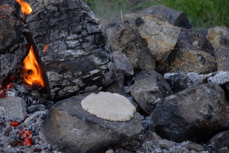 Fulacht FiadhFulacht fia · 423 yd
 Wood ViewCountry house · 1.2 mi
 Castle McAuliffe (Site of)Castle, unclassified · 1.6 mi
 IndicatedHouse, vernacular house · 2.2 mi
 CastleCastle, unclassified · 3.0 mi
 Stanner's Glen, Priory WoodWood · 4.8 mi
 TaurMountain / peak · 5.4 mi
 Kanturk CastleHeritage attraction · 6.0 mi
 Battle of Knocknaclashybattle · 6.1 mi
 St Fursey's WellSpring · 7.8 mi
 Burial ground in AssolasBurial ground · 8.4 mi