What is recorded here
Fairy fort / earthen ringfort in Gortearagh is a levelled circular enclosure on a south-facing Cork slope, still marking a thirty-metre ritual or residential landscape beneath pasture. Its low ridge, faint outer ditch and saucer-shaped interior suggest people shaped the hill for exclusion, watchfulness or ceremony before forgetting its name.
In pasture, on S-facing slope. Depicted on 1842 OS 6-inch map as hachured circular enclosure; on 1937 OS 6-inch map as hachured circular raised area (diam. c. 30m). Levelled; roughly circular area (35.6m E-W; 32m N-S) enclosed by low rise (H 0.5m); external fosse (D 0.15m) S->W. Inner face of rise slopes down gently towards centre, giving saucer-shaped appearance to interior. Field boundary bisects enclosure on N-S axis.
The above description is derived from the published 'Archaeological Inventory of County Cork. Volume 4: North Cork' (Dublin: Stationery Office, 2000). In certain instances the entries have been revised and updated in the light of recent research.
Date of upload/revision: 14 January 2009
The monument record does not grant public access. Check the route and ask the landowner before entering private land.
- What survives
- Recorded monument
Places near here
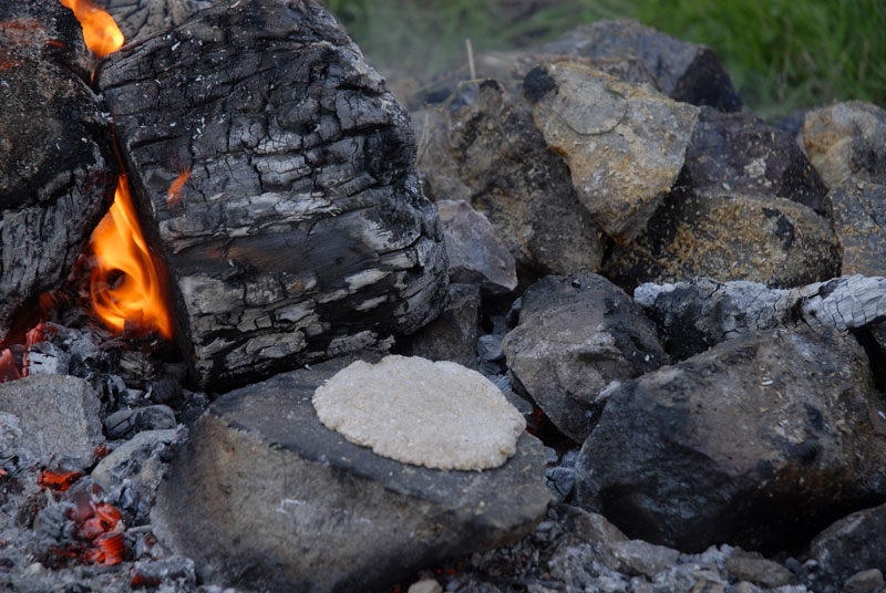 Fulacht FiadhFulacht fia · 175 yd
 Man-made underground passage in GortearaghMan-made underground passage · 476 yd
 Wood ViewCountry house · 1.4 mi
 Castle McAuliffe (Site of)Castle, unclassified · 1.8 mi
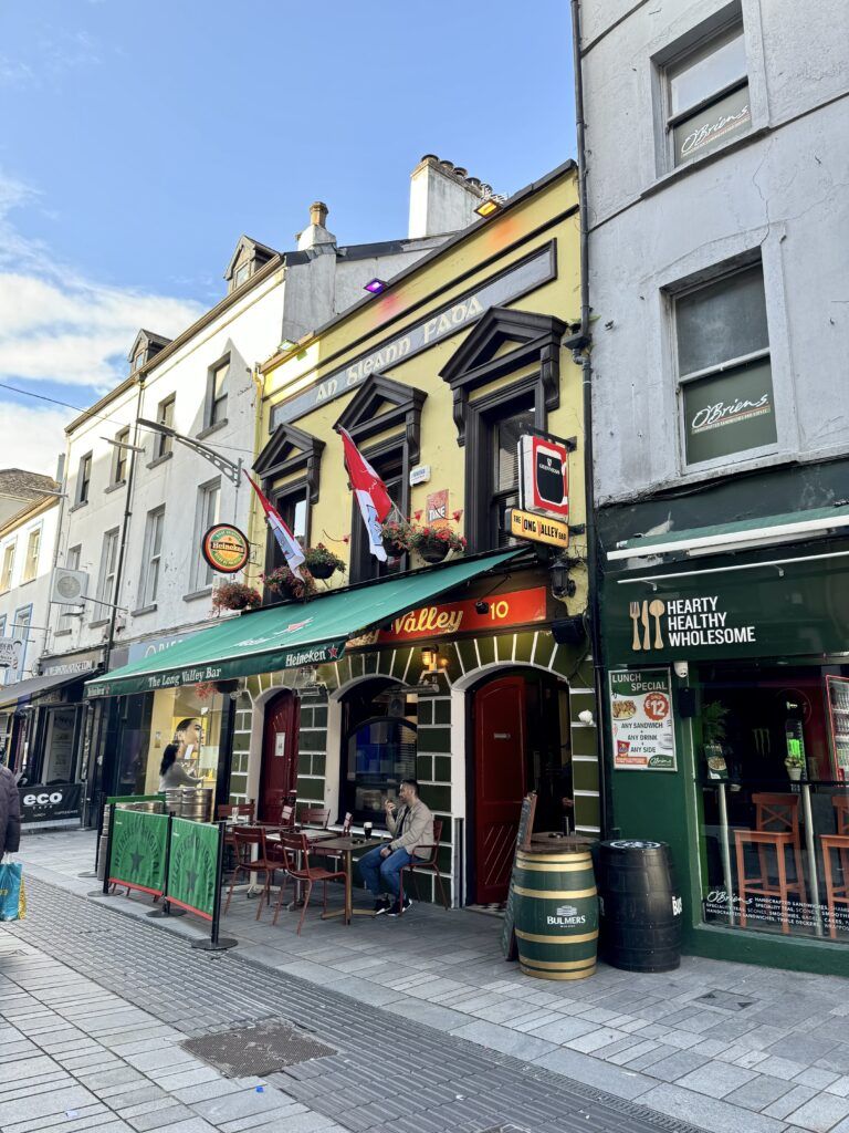 IndicatedHouse, vernacular house · 2.1 mi
 Drominagh Castle (Site of)Castle, unclassified · 3.0 mi
 Stanner's Glen, Priory WoodWood · 5.0 mi
 TaurMountain / peak · 5.6 mi
 Battle of Knocknaclashybattle · 5.9 mi
 Kanturk CastleHeritage attraction · 5.9 mi
 St Fursey's WellSpring · 7.7 mi
 Burial ground in AssolasBurial ground · 8.4 mi