What is recorded here
Gortalassa held a thirty-metre earthen ring on a western slope until ploughs erased it. The 1841 survey captured the embankment before human impatience removed it. A slight kink in the modern field boundary still marks the ghost of that circle.
In pasture, on slight W-facing slope. Monument, depicted as embanked circular enclosure (diam. c. 30m) on 1841 OS 6-inch map, has been levelled. No trace of monument evident when inspected. Semi-circular kink in field boundary to W of site indicates its location.
Compiled by: Denis Power
Date of upload: 26 August 2011
The monument record does not grant public access. Check the route and ask the landowner before entering private land.
- What survives
- Recorded monument
Places near here
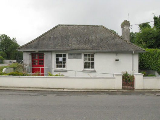 Feenagh Carnegie Librarylibrary/archive · 909 yd
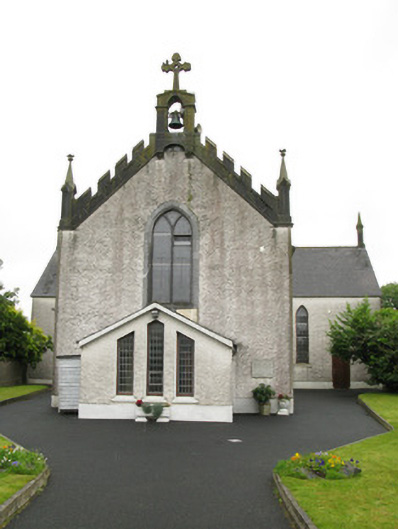 Saint Ita's Catholic Churchchurch/chapel · 1030 yd
 Moated site in BallinruaneMoated site · 1159 yd
 Moated site in AhadaghMoated site · 1.1 mi
 CastleCastle, unclassified · 1.5 mi
 ToberhoranSpring · 2.1 mi
 Garbally WellSpring · 2.3 mi
 Mayne Ho.Castle, unclassified · 2.9 mi
 National Co-op MuseumMuseum · 4.1 mi
 Ballagh MountainMountain / peak · 8.4 mi
 Mullaghareirk - Banane LoopWalking route · 9.1 mi
 Battle of LiscarrollMajor battlefield · 10 mi