What is recorded here
Fairy fort in Gortalassa, County Limerick: a 32m earthen ring on a NW-facing pasture slope, its scarped edge and shallow outer ditch still marking the boundary. The eastern causeway, three metres wide, invites entry into a gently sloping interior where grass grows over forgotten footpaths. Local people may have kept stock there, children may have circled the ridge at dusk, and the fairies may have reserved the centre for themselves.
In pasture, on NW-facing slope. Circular area (32m N-S; 30m E-W) defined by a scarped edge (H 0.3m; Wth 1.6m) with an external fosse (D 0.1m; Wth 1.8m). Scarp best preserved and highest SW->NW. Causeway (Wth 3m) across fosse at E. Interior slopes gently down from centre to top of scarp, and is under pasture.
Compiled by: Denis Power
Date of upload: 26 August 2011
The monument record does not grant public access. Check the route and ask the landowner before entering private land.
- What survives
- Recorded monument
Places near here
 Moated site in BallinruaneMoated site · 879 yd
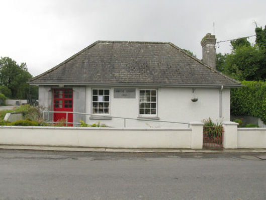 Feenagh Carnegie Librarylibrary/archive · 1224 yd
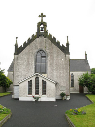 Saint Ita's Catholic Churchchurch/chapel · 1371 yd
 Moated site in AhadaghMoated site · 1.1 mi
 CastleCastle, unclassified · 1.3 mi
 ToberhoranSpring · 2.0 mi
 Garbally WellSpring · 2.1 mi
 Mayne Ho.Castle, unclassified · 2.7 mi
 National Co-op MuseumMuseum · 4.1 mi
 Ballagh MountainMountain / peak · 8.3 mi
 Mullaghareirk - Banane LoopWalking route · 9.0 mi
 Battle of LiscarrollMajor battlefield · 10 mi