What is recorded here
Fairy fort in Gogganshill, County Cork: a 33m ring of pasture, its south-west bank still a metre high, the rest reduced to a low rise and field-edge shadows. On the 1842 map a boundary closed most of the circle; today only a stretch from north-north-east to north-east remains visible. People may have lived there before the field swallowed the shape, or the fort may have been a boundary marker dressed as a home. Either way, the land kept the circle long after the walls stopped being walls.
In pasture. Circular area (diam. 33m) defined by earthen bank (H 1m) S->W; field boundary W->N may incorporate original bank; low rise elsewhere. Field boundary which surrounded enclosure NNE->W on 1842 OS 6-inch map survives NNE->NE.
The above description is derived from the published 'Archaeological Inventory of County Cork. Volume 3: Mid Cork' (Dublin: Stationery Office, 1997). In certain instances the entries have been revised and updated in the light of recent research.
Date of upload/revision: 14 January 2009
The monument record does not grant public access. Check the route and ask the landowner before entering private land.
- What survives
- Recorded monument
Places near here
 Rearour BrBridge · 311 yd
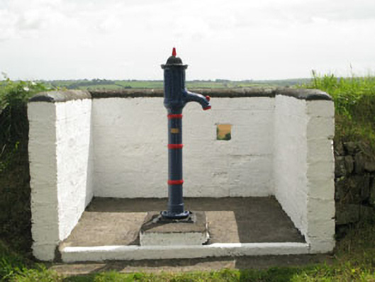 water pumpwater pump · 389 yd
 BarrowBarrow, ring-barrow · 1289 yd
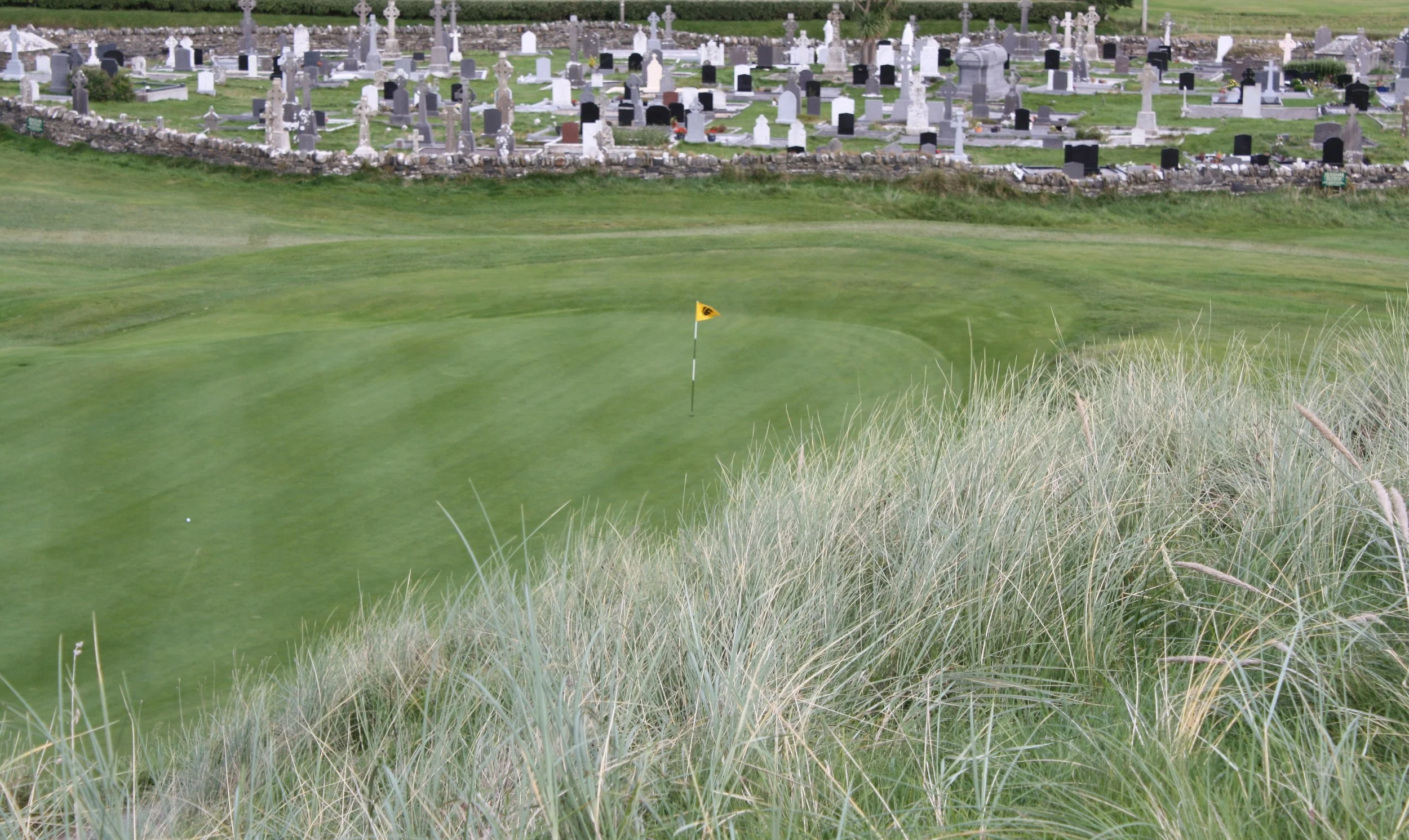 Grave YardGraveyard · 1678 yd
 Rumley's Open FarmHeritage attraction · 1.5 mi
 Sunday's WellSpring · 2.5 mi
 Corbally Montessori & Early Years' Pre-schoolVisitor information · 2.5 mi
 Graveyard in BallynoraGraveyard · 2.8 mi
 Manx2 Flight 7100aviation accident · 3.2 mi
 Ballincollig ViewViewpoint · 3.5 mi
 Dinny Barry MemorialMemorial · 3.7 mi
 Curra WoodForest · 3.7 mi