
What is recorded here
Road bridge (Wth c. 8.8m) spanning ravine in which tributary of Owenboy River flows. Three tall, slim, deeply recessed blind semicircular arches (H c. 14m); cut-stone voussoirs; string course overhead. Tall pointed breakwaters on piers. Three small semicircular arches (H c. 3m) at base of blind arches; cut-stone voussoirs; stream flows through SW arch only.
The above description is derived from the published 'Archaeological Inventory of County Cork. Volume 3: Mid Cork' (Dublin: Stationery Office, 1997). In certain instances the entries have been revised and updated in the light of recent research.
Date of upload/revision: 14 January 2009
The monument record does not grant public access. Check the route and ask the landowner before entering private land.
- What survives
- Recorded monument
Places near here
 Laurelwood Housepresbytery/parochial/curate's house · 545 yd
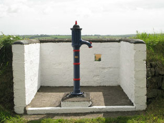 water pumpwater pump · 569 yd
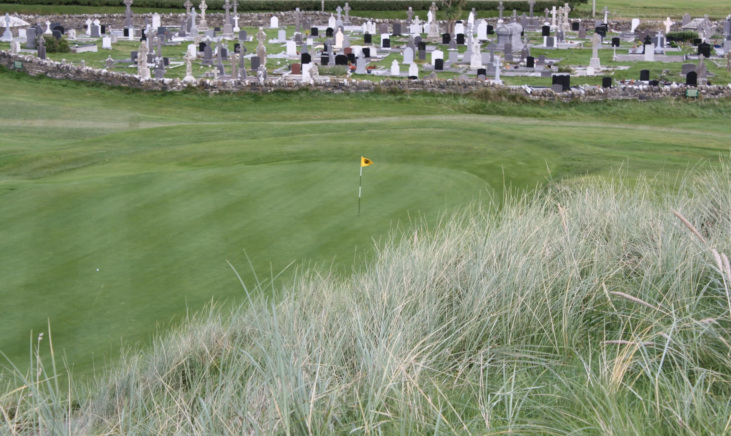 Grave YardGraveyard · 1477 yd
 Settlement desertedSettlement deserted, medieval · 1544 yd
 Rumley's Open FarmHeritage attraction · 1.4 mi
 Sunday's WellSpring · 2.5 mi
 Corbally Montessori & Early Years' Pre-schoolVisitor information · 2.6 mi
 Graveyard in BallynoraGraveyard · 2.8 mi
 Manx2 Flight 7100aviation accident · 3.0 mi
 Ballincollig ViewViewpoint · 3.4 mi
 Dinny Barry MemorialMemorial · 3.6 mi
 Sunday WellSpring · 3.7 mi
Other information
Photo: Credit not shown in the picture search · Rights wording not checked; contact us if this picture should be removed