What is recorded here
In Gloves Middle, County Galway, a broken earthen ring tilts across a south-facing slope, its bank choked with thorns and its ditch fading into pasture. The shape measures fifty metres, yet it never closed fully, as if the earth forgot the final join or someone stopped digging when fear arrived. A children's burial ground lies nearby, suggesting the fort served life and death together rather than boasting for a single chieftain.
On a S-facing slope in undulating pastureland. Poorly preserved subcircular rath (c. 50m NNW-SSE) defined by a bank and external fosse from SE through W to NW. The bank is overgrown with thorn bushes. A children's burial ground (GA084-076001-) is associated. (Cody 1989, 200-2, no. 50)
Compiled by: Galway Archaeological Survey, UCG
Date of upload: 3 January 2018
The monument record does not grant public access. Check the route and ask the landowner before entering private land.
- What survives
- Recorded monument
Places near here
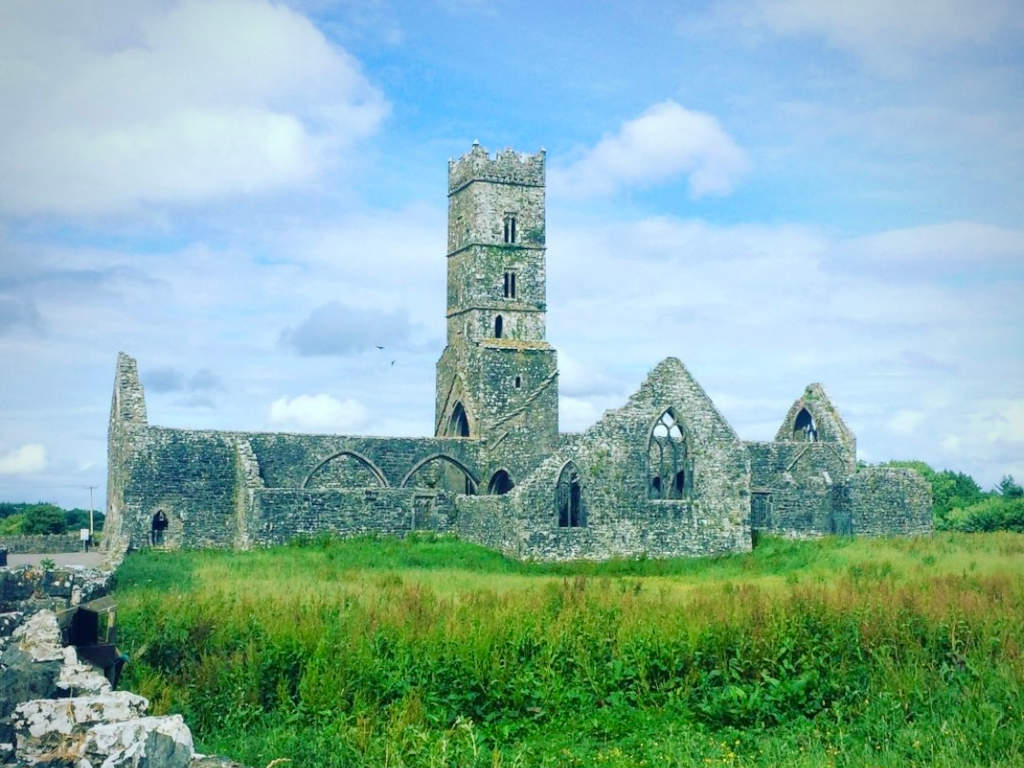 Cloonbrusk Castle (in ruins)Castle, unclassified · 1.1 mi
 Dominican FriaryReligious house, unclassified · 1.2 mi
 Enclosure in BruskEnclosure · 1.2 mi
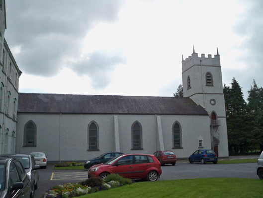 Saint Patrick's Redemptorist Monasterychurch/chapel · 1.2 mi
 Man-made underground passage in Ballyboggan (graigabbey Ed)Man-made underground passage · 1.3 mi
 MoteCastle, motte and bailey · 2.3 mi
 Moyard WoodWood · 2.9 mi
 Athenry CastleHeritage attraction · 2.9 mi
 Athenry AbbeyHeritage attraction · 2.9 mi
 Horse-chestnutHorse-chestnut · 3.1 mi
 First Battle of Athenrybattle · 3.2 mi
 Barrack IslandIslet · 8.2 mi