What is recorded here
Thirty-three metres of packed earth still mark the circle at the bottom of a Kerry field, though ploughs have cut through most of its ditch. The remaining bank rises one metre above the grass, a thin rim around a space large enough for houses, herds and argument. People may have lived inside that circle before drainage tools erased its edge, but the soil has kept the shape of their choices.
Internal diameter 33m N-S, 33.4m E-W
Situated at the bottom of a field, this site has a fieldbank running in a NW-SE direction along the SW sector. A univallate rath, it consists of a circular area enclosed by an earthen bank. This enclosing bank is 1m high externally and .8m above the interior. Due to drainage works the fosse has been completely ploughed out, except to the SE where it is traceable for 19m. It measures 3m wide and c .5m deep.
The above description is derived from C. Toal, ‘North Kerry Archaeological Survey’. Dingle. Brandon in association with FAS Training and Employment Authority (1995), no. 276. In certain instances the entries have been revised and updated in the light of recent research.
Date of upload: 2 August 2013
The monument record does not grant public access. Check the route and ask the landowner before entering private land.
- What survives
- Recorded monument
Places near here
 Bawn in GlouriaBawn · 264 yd
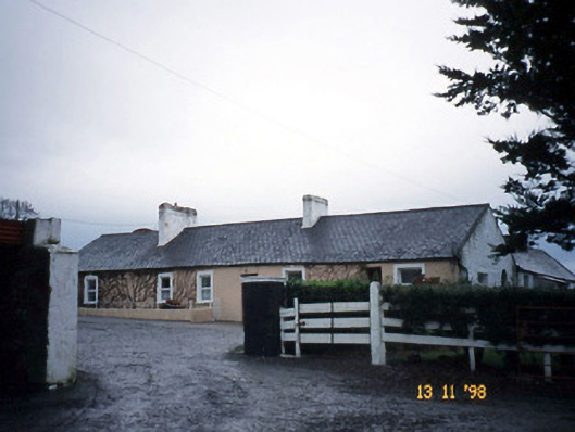 Gunsboroughfarmyard complex · 1014 yd
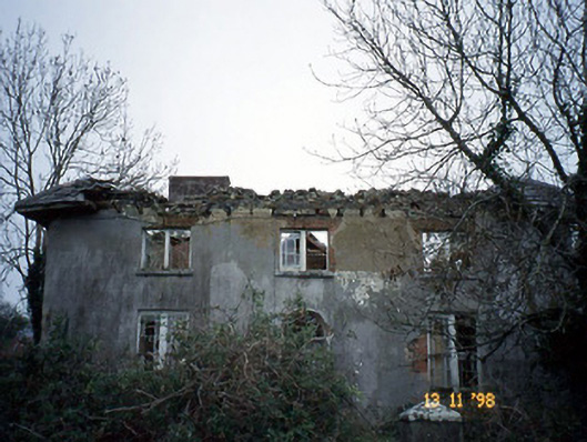 Coolardhouse · 1066 yd
 St Bartholomews WellHoly well · 1435 yd
 ToberboyHoly well · 1632 yd
 Bawn in BallydonohoeBawn · 1678 yd
 Lartigue MonorailMuseum · 3.6 mi
 KnockanoreMountain / peak · 3.6 mi
 John B. Keane GroveMemorial · 3.6 mi
 Kerry Writers' MuseumMuseum · 4.0 mi
 Bryan MacMahonMemorial · 4.0 mi
 Siege of Carrigafoyle Castlesiege · 5.5 mi