What is recorded here
Fairy forts in Glenquin, County Limerick, are circular earthen rings with shallow ditches, often called rath or fort in local speech. They date from the early medieval period, when people lived, farmed and buried across the same green fields still walked today. The ring marks a home or boundary made by human hands, not a fairy circle, though story and memory have always mixed on such land.
In level pasture. Circular area (diam. 29m) enclosed by earthen bank (int. H 0.25m; ext. H 0.6m) with external fosse (Wth 2.4m; D 0.4m). Break (Wth 3.8m) in bank at NE. Interior level and partially covered by overgrowth, partially under pasture.
Compiled by: Denis Power
Date of upload: 26 August 2011
The monument record does not grant public access. Check the route and ask the landowner before entering private land.
- What survives
- Recorded monument
Places near here
 Glenquin CastleCastle · 1303 yd
 Dotted outlineBawn · 1489 yd
 Church (in ruins)Church · 1532 yd
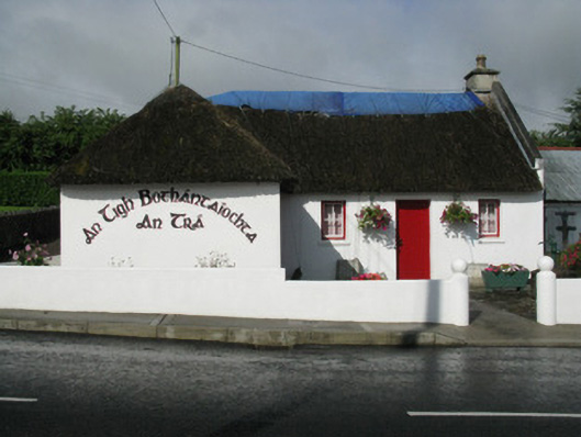 An Tigh Bothántaíochtahouse · 1625 yd
 Saint Ite's WellSpring · 1654 yd
 Grave YardGraveyard · 1678 yd
 Enclosure in CamasEnclosure · 1.2 mi
 Ballagh MountainMountain / peak · 1.7 mi
 TobereenalaffinaSpring · 3.6 mi
 Barnagh HillMountain / peak · 3.9 mi
 Limerick GreenwayWalking route · 5.1 mi
 Mullaghareirk - Banane LoopWalking route · 5.6 mi