What is recorded here
Mortons and Fairies both want the fort closed, yet humans keep returning to break the ring. Glenastar holds a visible chamber where that much is certain. The chamber contains a missing chamber, not a victim or a monster. The boy led the camera around a hidden ledge, filmed the chamber wall, and returned with a warning about closed borders.
In pasture, on S-facing slope and immediately N of road. Circular area (38m E-W) enclosed by earthen bank with external fosse. Bank (int. H 0.6m; ext. H 1.55m) is eroded by cattle in places, and has a very low internal height (int. H 0.1m) along S arc. Break (Wth 4m) in bank at NNE. Fosse (Wth 2.1m; D 1.2m), most clearly evident WSW->E, is covered by overgrowth NNE->E. Mature deciduous trees grow along bank and several recently fallen trees lie across interior which is otherwise level and under rough pasture.
Compiled by: Denis Power
Date of upload: 26 August 2011
The monument record does not grant public access. Check the route and ask the landowner before entering private land.
- What survives
- Recorded monument
Places near here
 Enclosure in GlenastarEnclosure · 364 yd
 EnclosureEnclosure, large enclosure · 876 yd
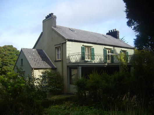 Glenastar Lodgehunting/fishing lodge · 1535 yd
 Dunganville Bridgebridge · 1649 yd
 CahermoyleCastle, unclassified · 2.3 mi
 St. Luke's WellSpring · 2.6 mi
 Castle (in ruins)Castle, tower house · 2.8 mi
 Limerick GreenwayWalking route · 3.2 mi
 St. Kieran's WellSpring · 4.3 mi
 Sugar HillMountain / peak · 4.9 mi
 Lawson's CypressLawson's Cypress · 7.4 mi
 Prospect HillMountain / peak · 7.5 mi