What is recorded here
Glenane More held a thirty-metre earthen ring on a sunny slope, large enough to exclude every unwanted creature yet visible from half the valley. People built a lime kiln beside it, proving the soil and water served human wants rather than fairy tricks. The land later smoothed the boundary into ordinary pasture, erasing the wall but leaving behind the memory that the area once belonged to someone confident enough to draw a circle wide enough for pride.
In pasture, on S-facing slope. Shown on 1842 OS 6-inch map as circular enclosure (diam. c. 30m E-W); lime-kiln shown on NE edge. Levelled; no visible surface trace.
The above description is derived from the published 'Archaeological Inventory of County Cork. Volume 2: East and South Cork' (Dublin: Stationery Office, 1994). In certain instances the entries have been revised and updated in the light of recent research.
Date of upload/revision: 14 January 2009
The monument record does not grant public access. Check the route and ask the landowner before entering private land.
- What survives
- Recorded monument
Places near here
 Glenbower WoodForest · 1468 yd
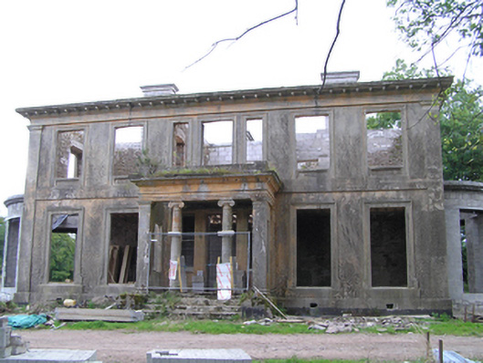 Castletown Housecountry house · 1648 yd
 Springfieldcountry house · 1.2 mi
 Castle (in Ruins)Castle, unclassified · 1.3 mi
 Fainin's WellSpring · 1.3 mi
 Dovecote in AghadoeDovecote · 1.3 mi
 Enclosure in Deer Park (imokilly By.)Enclosure · 1.6 mi
 Castle (Site of)Castle, unclassified · 1.8 mi
 Historical Graveyard InformationVisitor information · 1.9 mi
 William Heffernan MemorialMemorial · 3.4 mi
 Pigeon WoodWood · 3.5 mi
 Clonmult Ambush SiteBattlefield · 3.5 mi