What is recorded here
Glenaknockane held two forts, but only one identity remains. The other vanished beneath J. Scanlon's plough, leaving behind a smooth field and a missing marker.
One of two levelled single-ramparted forts (diam. c. 29yd) recorded by Bowman (1934, 607) on J. Scanlon's land. Exact location not known. Second fort, on same farm, is CO040-105---.
The above description is derived from the published 'Archaeological Inventory of County Cork. Volume 4: North Cork' (Dublin: Stationery Office, 2000). In certain instances the entries have been revised and updated in the light of recent research.
Date of upload/revision: 14 January 2009
The monument record does not grant public access. Check the route and ask the landowner before entering private land.
- What survives
- Recorded monument
Places near here
 IndicatedKiln, lime · 800 yd
 RoadRoad, unclassified togher · 1028 yd
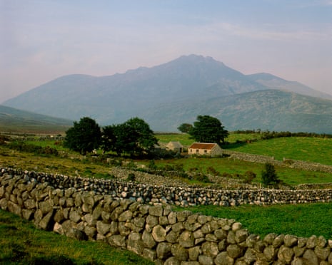 Mound in Barrahaurin,glenaknockaneMound · 1410 yd
 Eagle's NestMountain / peak · 1.4 mi
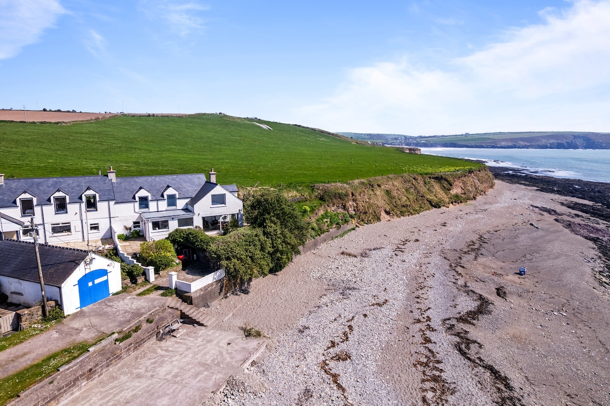 Enclosure in Glentaneatnagh NorthEnclosure · 1.7 mi
 Knockduff Wind FarmVisitor information · 2.4 mi
 Knockcraugh HillMountain / peak · 2.6 mi
 Saint Bartholomew's WellSpring · 4.5 mi
 New TipperaryVisitor information · 4.9 mi
 Mount Hillary - Knightfield LoopWalking route · 5.6 mi
 Blackwater (Duhallow) WayWalking route · 6.5 mi
 St Fursey's WellSpring · 7.0 mi