What is recorded here
Mortimer Glenafelly fairytale ringfort. Irish fairy fort tradition. Glenafelly mountain slope. Earthen bank and external fosse. Possible south west entrance gap. Bank raised to compensate hill slope. Circular enclosed area. Recent forest plantation covers the site. Local memory preserves the shape beneath trees.
Situated on W facing slope of high ground in mountainous area. Located in area of recent forest plantation making examination impossible. According to local information site consisted of a circular area enclosed by an earthen bank and external fosse with possible entrance gap at S. W side of site raised to compensate for hill slope.
The above description is derived from the published 'Archaeological Inventory of County Offaly' (Dublin: Stationery Office, 1997). In certain instances the entries have been revised and updated in the light of recent research.
Date of upload: 23 May 2011
The monument record does not grant public access. Check the route and ask the landowner before entering private land.
- What survives
- Recorded monument
Places near here
 Holy well in Cumber UpperHoly well · 1706 yd
 Broom HillMountain / peak · 1.0 mi
 Cumber HillMountain / peak · 1.0 mi
 IndicatedHillfort · 1.0 mi
 Tulla Castle (site of)Archaeological place · 1.1 mi
 Site of Tulla CastleCastle, unclassified · 1.1 mi
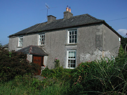 Tulla Housefarm house · 1.1 mi
 Kinnitty ForestForest · 1.3 mi
 Saint Dominick's WellSpring · 1.8 mi
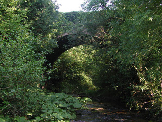 Aghagurty Bridgebridge · 1.9 mi
 Kinnitty Castle LoopWalking route · 2.7 mi
 Slieve Bloom Mountain Bike TrailVisitor information · 2.8 mi