What is recorded here
Located in mixed woodland towards the bottom of a steep N-facing slope. Subcircular area (dims. 33m NW-SE; 28m NE-SW) defined by an earthen bank (Wth 3-4m; int. H 1.5m at SW), which is reduced to a scarp (H 1.8m) downslope NW-E. An external fosse (Wth 2m; D 0.3m) SE-NW is reduced to a berm (Wth 2m) NW-NE. The entrance is not identified but it may have been between NE-SE where the bank and fosse are now destroyed.
The above description is derived from the published 'Archaeological Inventory of County Waterford' (Dublin: Stationery Office, 1999). In certain instances the entries have been revised and updated in the light of recent research.
Date of upload/revision: 23 December 2008
This remains an important historical record, but the official description says the monument is no longer visible or has been destroyed. The monument record does not grant public access. Check the route and ask the landowner before entering private land.
- What survives
- No visible remains or recorded as destroyed
Places near here
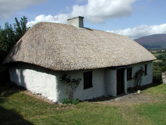 farm housefarm house · 595 yd
 Glen Castle (in ruins)Castle, tower house · 1002 yd
 Glencomeragh Househouse · 1053 yd
 Gloragh WellsHoly well · 1414 yd
 Ballyclohy Castle (in ruins)Castle, tower house · 1435 yd
 IndicatedFairy fort / ringfort · 1553 yd
 CarrigcoumMountain / peak · 1559 yd
 Maurice DavinMemorial · 1.1 mi
 Glen Poer WoodForest · 1.2 mi
 Pedunculate OakPedunculate Oak · 1.3 mi
 CarrigeenseebohillaMountain / peak · 2.3 mi
 Thomas KielyMemorial · 3.2 mi