What is recorded here
Fairy forts are human places misnamed by fear or wonder, often holding burial mounds, hut circles or small fortified farms rather than fairy palaces. In this Glen case, the ringfort and nearby ring-barrows sit together on wet pasture, suggesting a lived-and-buried landscape: people farmed, defended, died and were remembered within a few dozen metres. The fairy label does not erase that human density; it translates it into the local voice, where ordinary ancestry becomes strange enough to be named after the unseen.
On wet partially reclaimed pasture. Two ring-barrows (LI024-041/243----) 34m to NNW, ringfort (LI024-040----) with hut site (LI024-299----) 30m to NNE. Outline of circular-shaped area (approx. diam. 36m) enclosed by a possible bank mainly reduced to a scarp and external ditch visible on OSi orthophotos taken 2005-12. Outline of monument clearly visible on Google Earth orthoimage taken 18/11/2018. On this orthophoto two ditch-barrows (LI024-342-/343----) are clearly visible to NNE and NNW respectively.
See attached Google Earth orthophoto courtesy of Edmond O'Donovan
Compiled by: Caimin O’Brien based on details provided by Edmond O’Donovan
Date of upload: 17 September 2020
The monument record does not grant public access. Check the route and ask the landowner before entering private land.
- What survives
- Recorded monument
Places near here
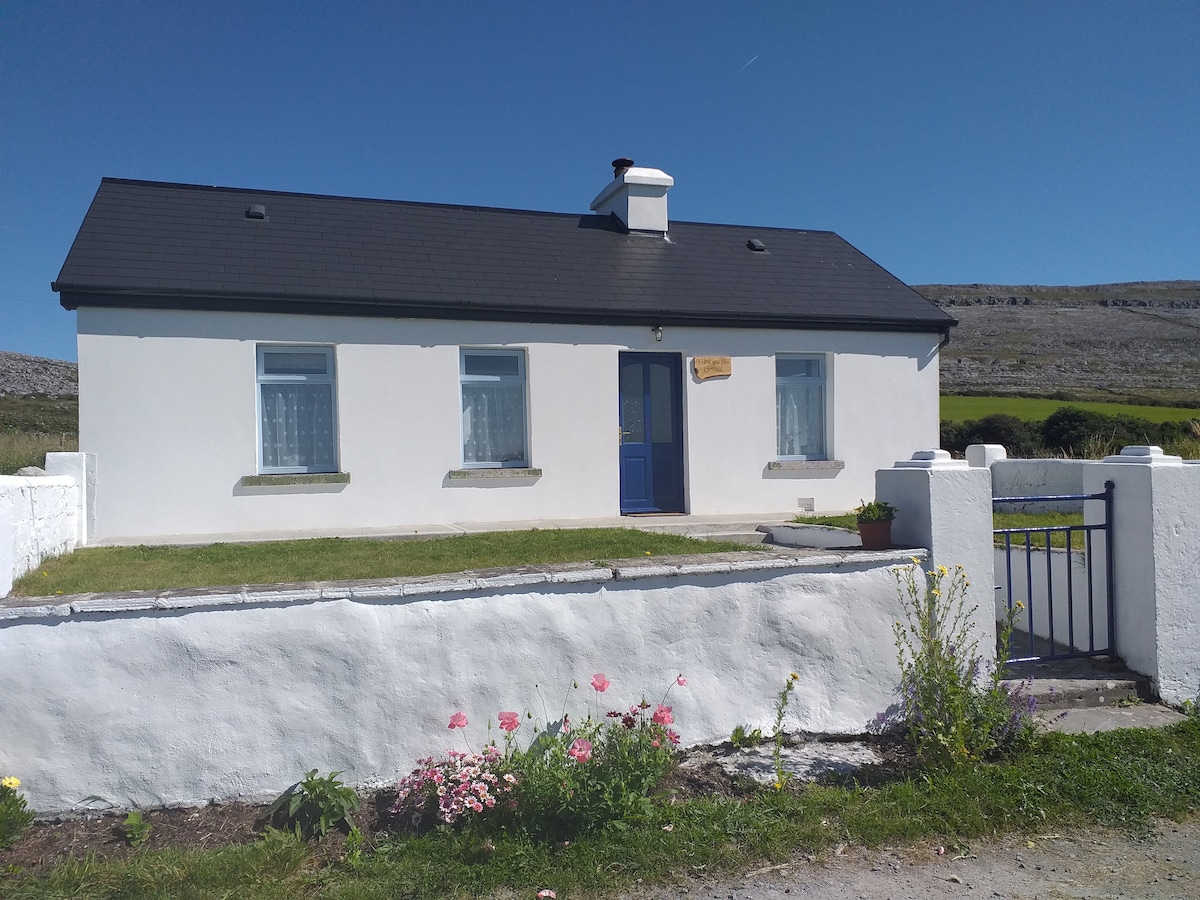 Hut site in Glen (clanwilliam By.)Hut site · 74 yd
 BarrowBarrow, ring-barrow · 158 yd
 KnockseefinMountain / peak · 1000 yd
 (Site of) Nicker CastleCastle, unclassified · 1400 yd
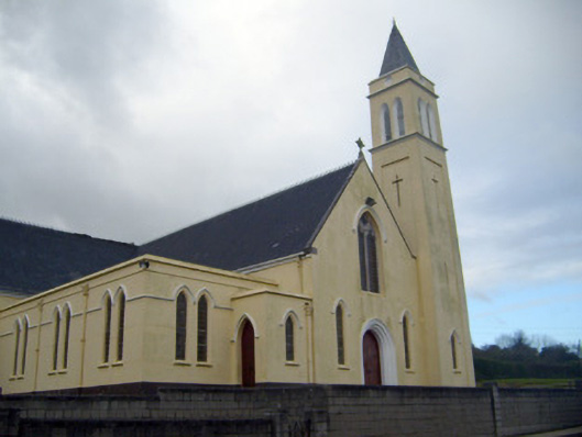 Catholic Church of Saint John the Baptistchurch/chapel · 1518 yd
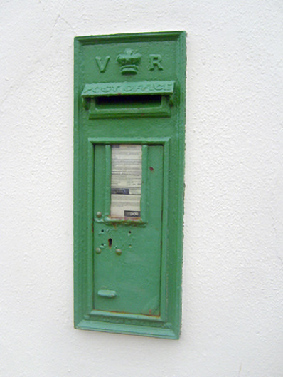 post boxpost box · 1552 yd
 Pallas MoatCastle, motte · 1.3 mi
 ToberagaddySpring · 2.0 mi
 St. Patrick's WellSpring · 2.3 mi
 Kilteely HillMountain / peak · 2.8 mi
 Flat cemetery in Knockainy WestFlat cemetery · 6.7 mi
 Ballinvreena LoopVisitor information · 12 mi