What is recorded here
Fairy fort is a circular earthen ringfort on a WNW-facing slope above rough pasture in Glen, with a 22m diameter, a 7.15m-wide bank and a shallow fosse that a stream has re-cut. It sits near five barrows and a possible hut site, suggesting a small lived-and-buried place rather than a single dramatic event. The bank still stands 1.8m high on parts of its edge, while the rest has worn into a scarp, as if the hill itself forgot half the shape and kept the rest for people to misread.
On a WNW-facing slope, in rough pasture, 130m NE of a townland boundary with Knocknacrohy. A possible hut site (LI024-299----) is visible within the S quadrant and a complex of five barrows (LI024-041/243/246/342/341----) are within a 65m radius to S, SW and W. Depicted as a suboval-shaped earthwork defined by a watercourse to N on the 1897 ed. OS 25-inch map. Monument surveyed by the ASI in 2008 and described as a circular-shaped area (diam. 22m) defined by remains of a bank (Wth 7.15m; int. H 0.45m; ext. H 1.8m) from E-S-W-WNW which is reduced to a scarp (Wth 1.1m; H 3m) from WNW-N-E. A fosse (Wth 6.75m; D 0.2m) is visible from S-W-WNW and appears to have been re-cut by a stream from WNW-N-E. A subrectangular-shaped area defined by linear banks (L 28m at W; 12m at S; 13m at E; open to N) abuts the exterior of the fosse at W, with the bank (Wth 4.6m; int. H 0.2; ext. H 0.2m) on its E-side possibly being shared with the outer bank of the ringfort from SW-WNW. Monument is visible as a suboval-shaped earthwork on OSi orthoimage taken 2005-2012, on Digital Globe orthoimage taken 2011-201, and on Google Earth orthoimage taken 18/11/2018.
Compiled by: Alison McQueen and Vera Rahilly
Date of upload: 28 September 2020
The monument record does not grant public access. Check the route and ask the landowner before entering private land.
- What survives
- Recorded monument
Places near here
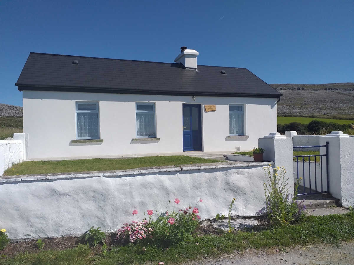 Hut site in Glen (clanwilliam By.)Hut site · 11 yd
 BarrowBarrow, ring-barrow · 226 yd
 KnockseefinMountain / peak · 928 yd
 (Site of) Nicker CastleCastle, unclassified · 1334 yd
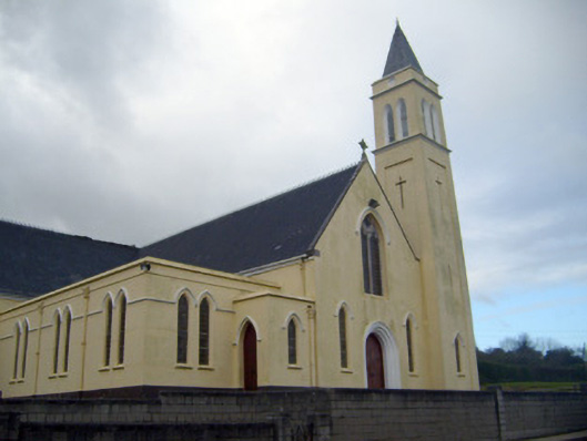 Catholic Church of Saint John the Baptistchurch/chapel · 1453 yd
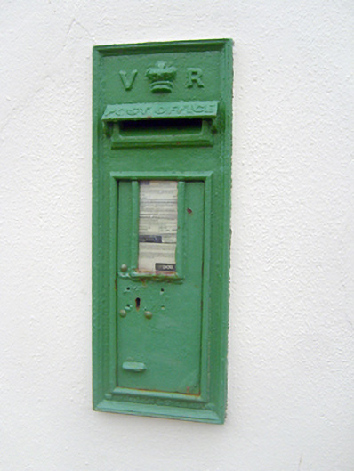 post boxpost box · 1488 yd
 Pallas MoatCastle, motte · 1.3 mi
 ToberagaddySpring · 2.0 mi
 St. Patrick's WellSpring · 2.4 mi
 Kilteely HillMountain / peak · 2.8 mi
 Flat cemetery in Knockainy WestFlat cemetery · 6.8 mi
 Ballinvreena LoopVisitor information · 12 mi