What is recorded here
Glebe holds a broken earthen ring where cattle still walk through history. The site contains a shallow central pit and a faint outer bank, but the main structure has vanished under grass and traffic. What remains is a suggestion of shape rather than a clear wall. The land has forgotten its own boundary, leaving behind only a subtle dip that invites imagination to complete what time has erased.
On level, wet pasture. A circular area (int. diams. 50m E-W; 38.5m N-S) is defined by a low, broad, inner earthen bank (Wth 7.5m; int H 0.4m; ext H 0.5m) which is quarried-out E-SE and heavily poached by livestock at S, a shallow fosse (Wth 1m at W-3.4m at S; D 0.2m at S-1m at W), and traces of a second, poorly preserved, outer earthen bank (Wth 1.2m; H 0.2m) NE-ESE. The interior has been extensively quarried out leaving a central, shallow, rectangular depression (dims. L 15m NE-SW; max Wth 14.5m; D 0.5m), and smaller depressions at NE, ESE and SSE. An ESB pole stands inside the inner bank at S.
Compiled by: Gearóid Conroy
Date of upload: 10 June 2011
The monument record does not grant public access. Check the route and ask the landowner before entering private land.
- What survives
- Recorded monument
Places near here
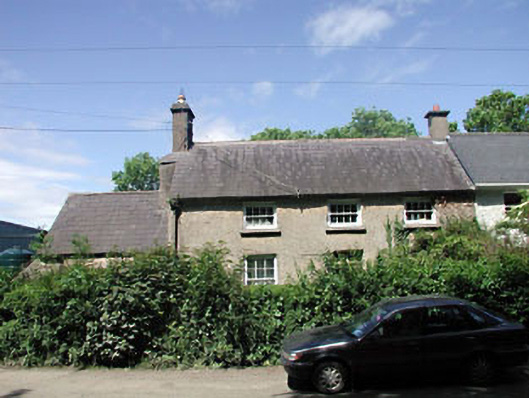 teacher's houseteacher's house · 388 yd
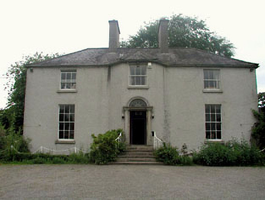 The Gleberectory/glebe/vicarage/curate's house · 490 yd
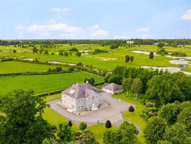 TumulusCastle, motte and bailey · 803 yd
 The Steam MusemMuseum · 1321 yd
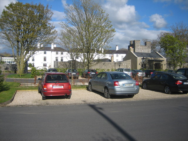 IndicatedBawn · 1476 yd
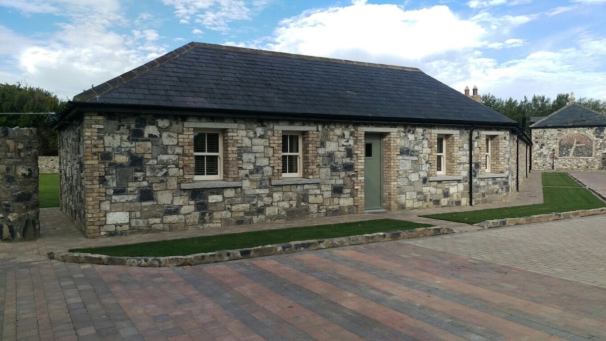 Enclosure in BallyhaysEnclosure · 1542 yd
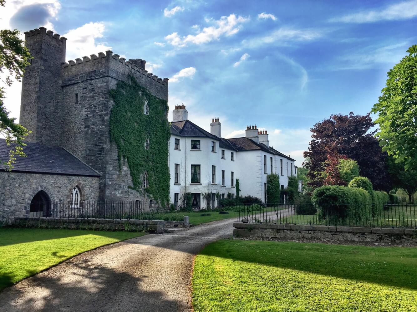 Enclosure in BarberstownEnclosure · 1.1 mi
 Maguire's WoodWood · 3.0 mi
 Cocked Hat WoodWood · 3.0 mi
 Andrew FayMemorial · 3.6 mi
 John McLaughlinMemorial · 3.6 mi
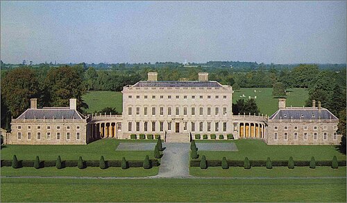 Castletown HouseHeritage attraction · 4.5 mi