What is recorded here
Fairy forts are misnamed: they are human ringforts, often farmed or stripped before record. In Gleann Na Huamha a grassy mound still marks one chamber or pen, its edge slightly proud and its centre dipped, while a fainter circle lies fifty-six metres away. The names Fort and rath point to a small defended or enclosed homestead, not a palace for spirits.
Situated on a gentle NW facing slope, this site was shown as a circular enclosure on the 1st edition of the OS map and named 'Fort' on the Fair Plan. It was not noted on the 2nd edition. It consists of a roughly circular, grass-grown mound with a slightly depressed upper surface. It measures 12.8m x 10.9m at base and c. 8m x 9m across its upper surface. The upper edge rises 1.37m above the level of the surrounding field and c. 0.43m above the central depression. The mound appears to be composed of earth and stones. The latter are exposed along the steep N edge of the cairn but do not appear to form a regular facing. Another very slight mound is traceable 56m to SW. Its outline is only vaguely discernible but it appears to be roughly circular and about 10m in diameter.
The above description is derived from J. Cuppage, ‘Corca Dhuibhne. Dingle Peninsula archaeological survey. Ballyferriter. Oidhreacht Chorca Dhuibhne’ (1986), no. 224. In certain instances the entries have been revised and updated in the light of recent research.
Date of upload: 4 August 2013
The monument record does not grant public access. Check the route and ask the landowner before entering private land.
- What survives
- Recorded monument
Places near here
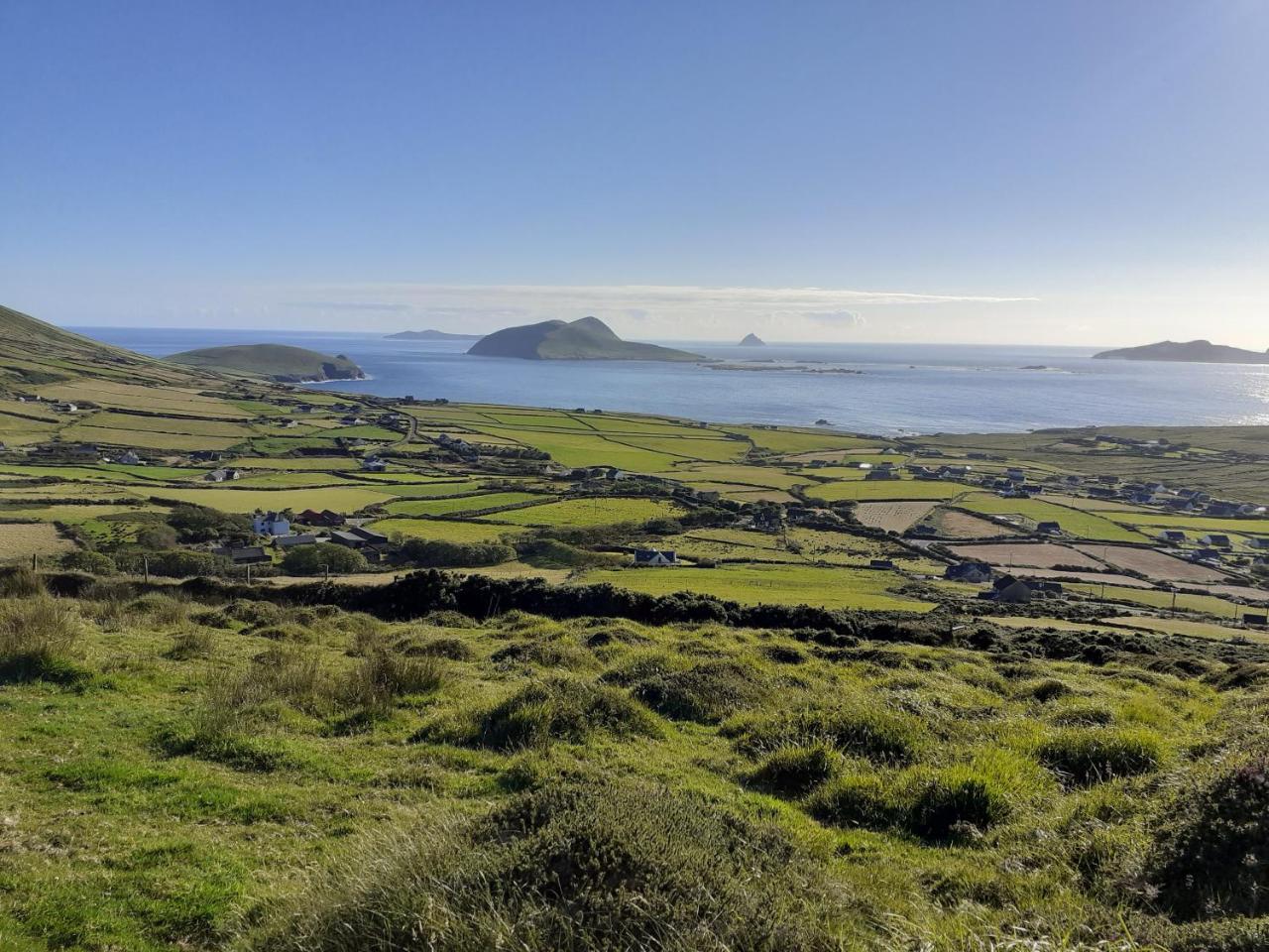 Enclosure in Gleann Na Huamha (bar. Corca Dhuibhne, An Tsráidbhaile)Enclosure · 94 yd
 Enclosure in UnknownEnclosure · 330 yd
 Hillville WoodWood · 1515 yd
 Church in Cill An UrdráinChurch · 1649 yd
 Binn an TuairMountain / peak · 1.0 mi
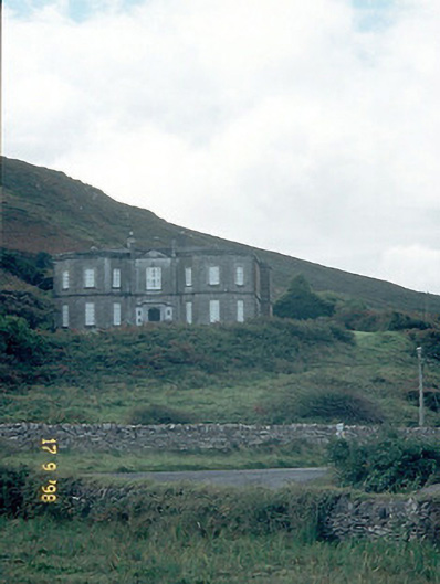 Fermoyle Househouse · 1.1 mi
 Site of CastleCastle, unclassified · 1.1 mi
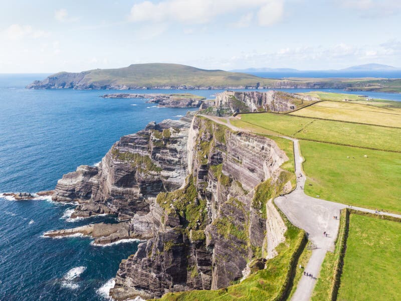 An Com BánMountain / peak · 1.4 mi
 Drom BeachBeach / strand · 1.4 mi
 An t'Oileán DubhIslet · 2.0 mi
 An CheapaighBeach / strand · 2.2 mi
 Pointe na CathrachHeadland · 2.7 mi